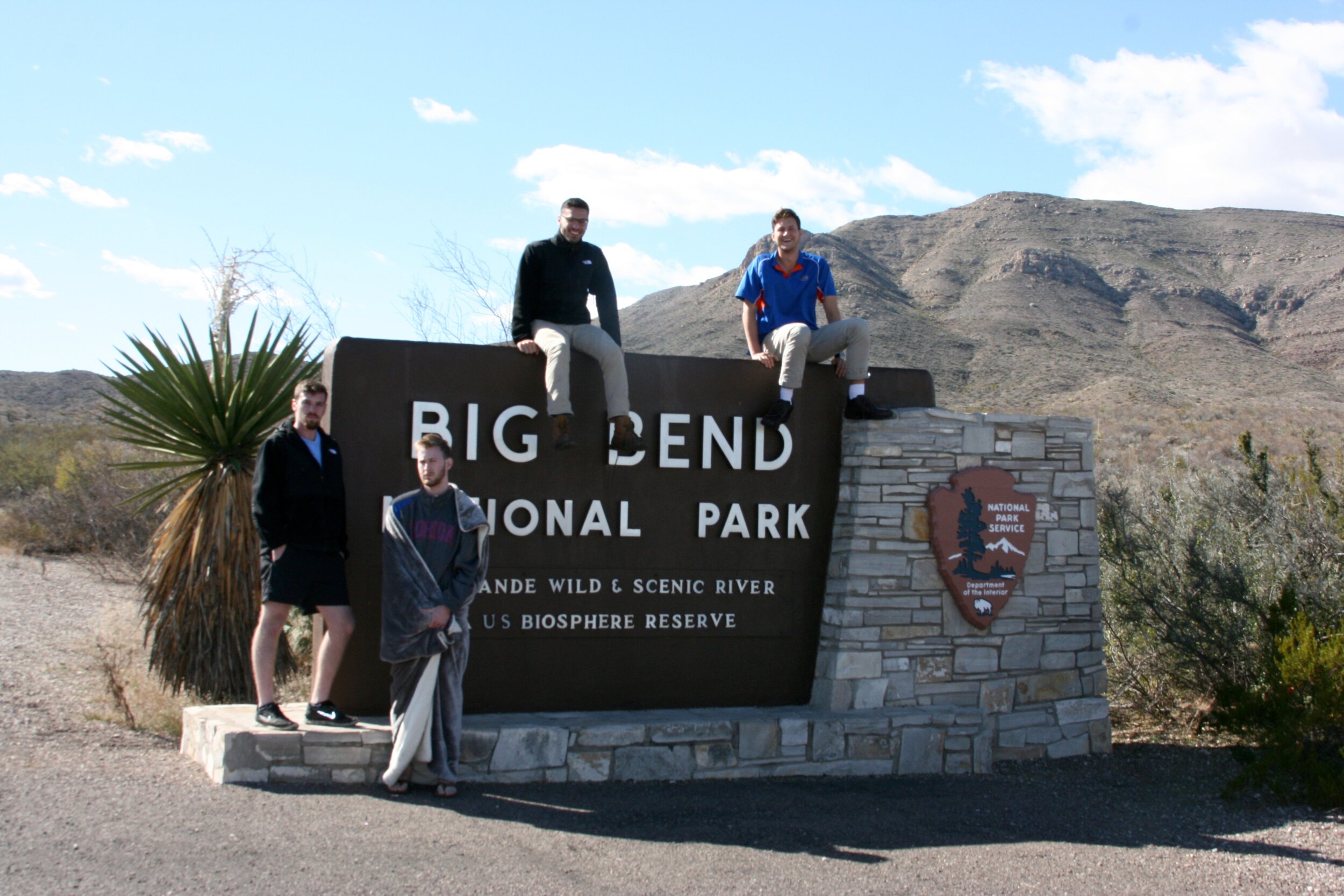
Big Bend Travel Guide
An Extended Weekend Trip
Overview
Big Bend National Park: One of the largest, yet least frequented National Parks in the lower 48, this extraterrestrial desert expanse is situated in west Texas on the Mexican/American boarder, a 6 hour drive from the nearest metro area (San Antonio). Originally named “Bend” before being moved to Texas, The park is so secluded, it’s one of the few areas in the US without light pollution, resulting in breathtaking views of the night sky. The park encompasses three geographical regions, each touting distinct features & individual visitor centers - The Chisos Mountains, The Rio Grande River, and The Chihuahuan desert. Shaped by millions of years of sedimentation, tectonic shifting, erosion, volcano eruptions, and fossilizations, this 800,000 square acre protected expanse is filled with natural wonders ranging from hot springs to hoodoos and much more!
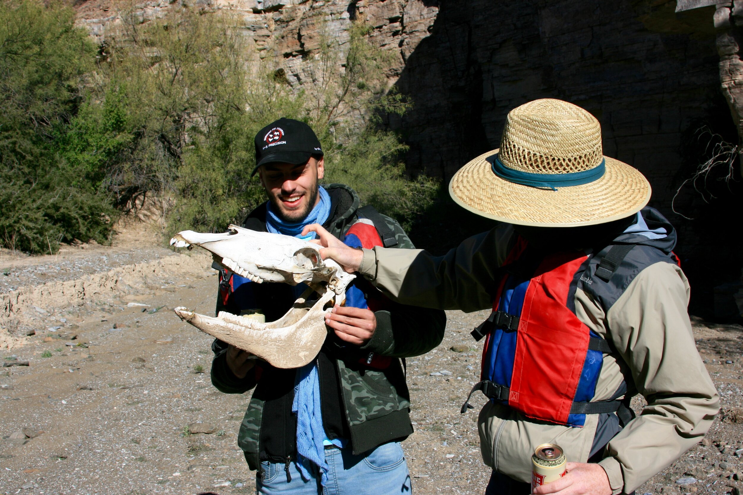
Big Bend Ranch State Park: Adjacent to Big Bend National Park, is Big Bend Ranch State Park, and the two share the Chihuahuan desert ecosystem. This park is managed by Texas Park & Wildlife and operates based on the “open range” system, where cattle are free to roam amongst all public and private land. A heard of Longhorns range freely here, and are rounded up on a semi-annual basis.
Hiking: We hiked 8 trails in 3 days. Our experiences have been highlighted in the below chart. In terms of the “difficulty” rating, everything is more than doable, but proceed with caution on the 7’s-9’s if you have an aversion to height, trouble with easy to moderate scrambling, or if you have issues walking long distances. Two main factors (daylight & distance) determined what trails we hiked and when. Daylight- We decided to explore Big Bend in December to avoid the dreadful desert heat. However, this came at the price of early sunsets, resulting in shorter days. We opted for shorter hikes to ensure we could squeeze as many activities in as possible. Distance- Trails are spread out across the parks and require lots of driving. Driving is a great way to see the park, but strategic planning can help minimize driving and maximize hiking. For example, it’s a 1.5 hour drive from Santa Elana Canyon to the Hot Springs.

Hike Highlights
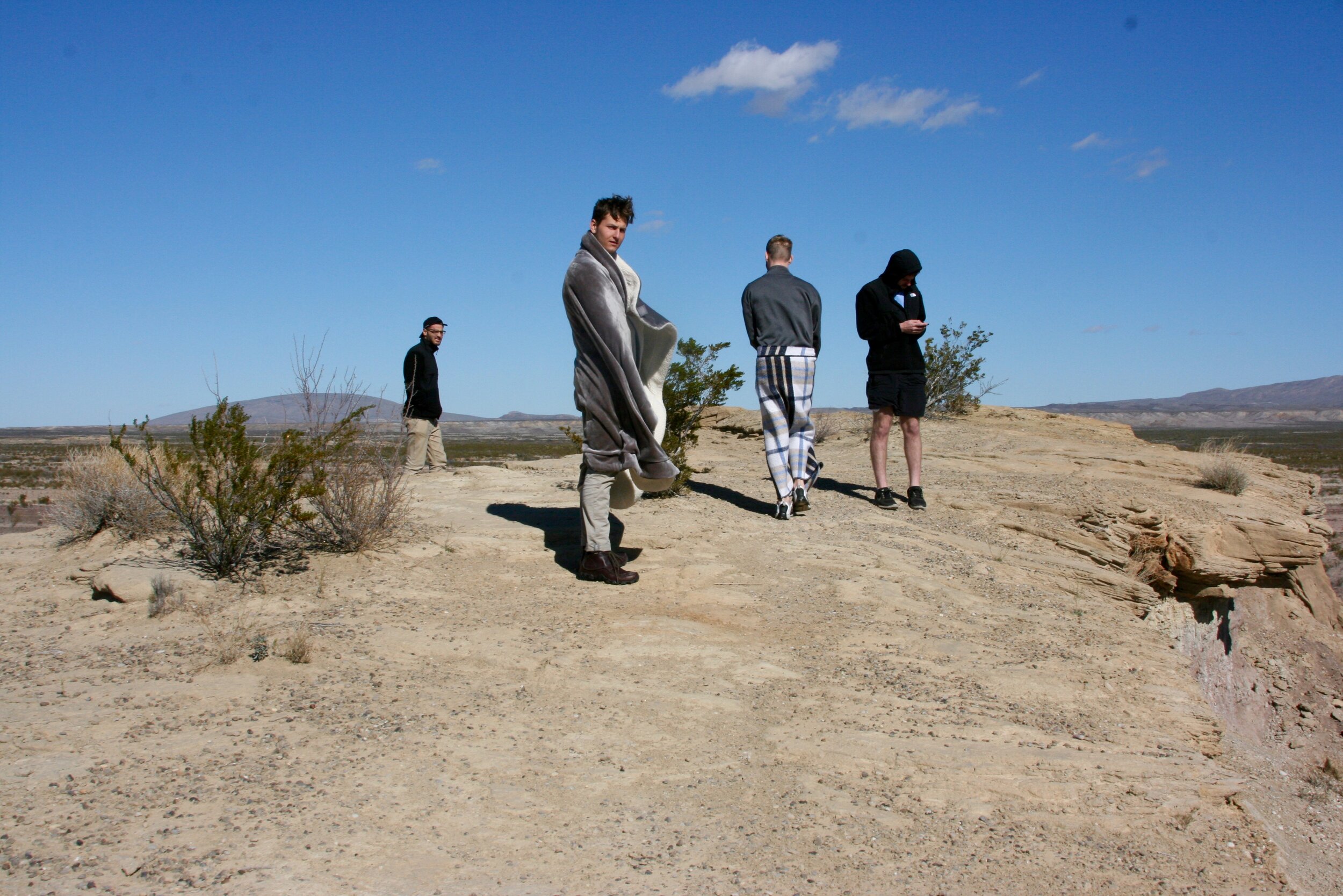
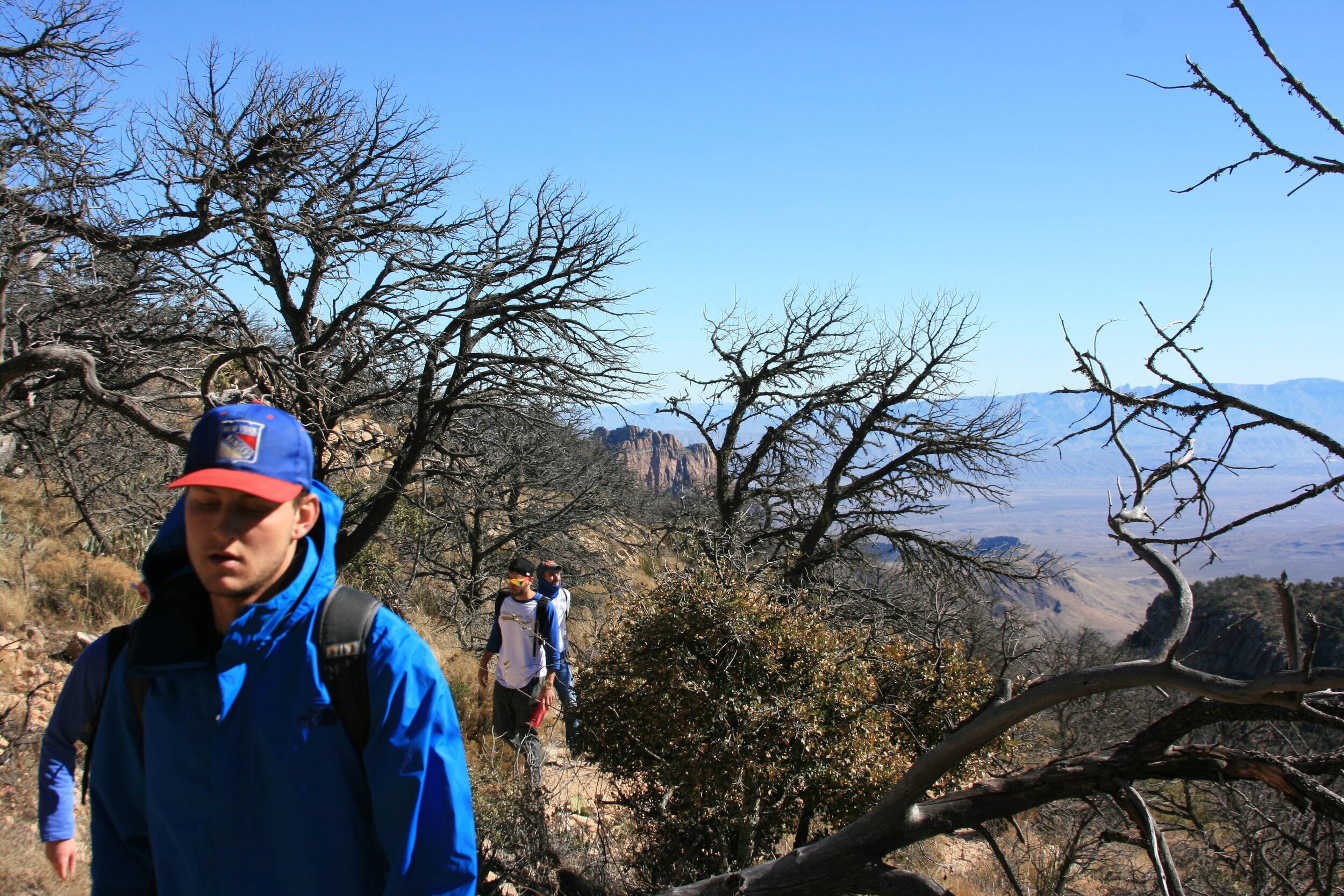
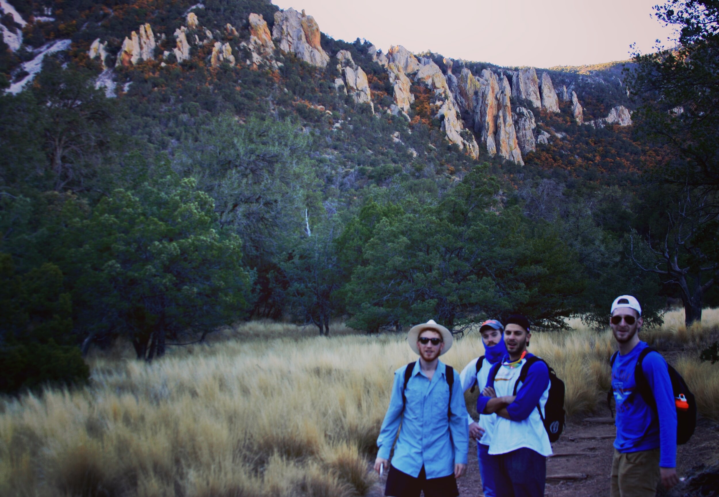
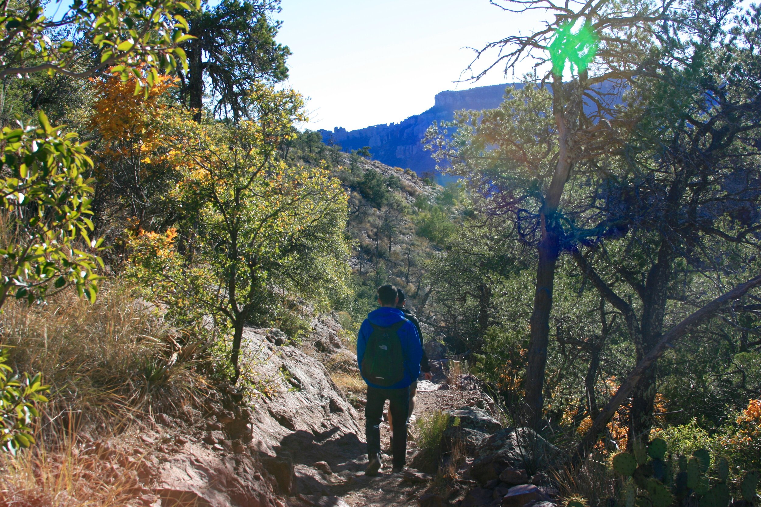
We hiked about 20 miles in 2 days, and have included additional information about each hike. Since our goal was to see as much of the park as possible, we chose to skip many of the day-long hikes in exchange for shorter trails. To provide you with a larger assortment of options, we’ve included highlights from some of our friends’ trips, and labeled them as “Bonus.” At the bottom of this “Hike Highlights” section, there is an embedded map illustrating further details. The map contains trailheads (color coded by day), stops & lookouts, and select hiking trails. Detailed hike overviews are separated by region: Big Bend National Park (Chisos Mountains, Rio Grande, and Chihuahuan Desert), and Big Bend Ranch State Park.
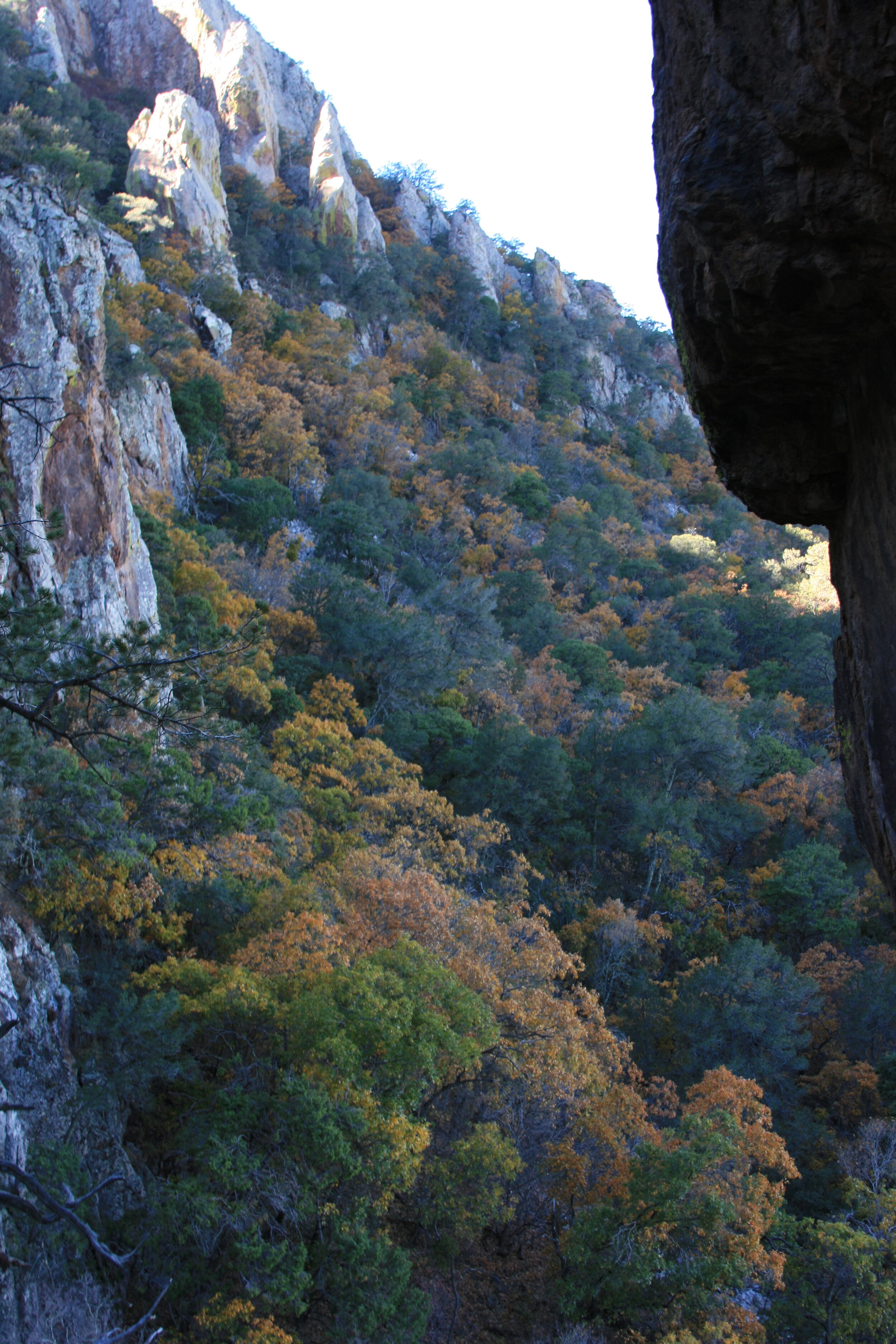
Big Bend: Chisos Mountain Trails
Chisos Basin Visitor Center is located closely to the all mountain hike trailheads. It’s the perfect spot to learn about the region, fill-up with water, and ask questions about the trails. Open from 8:30am-4pm, but closed during lunch.

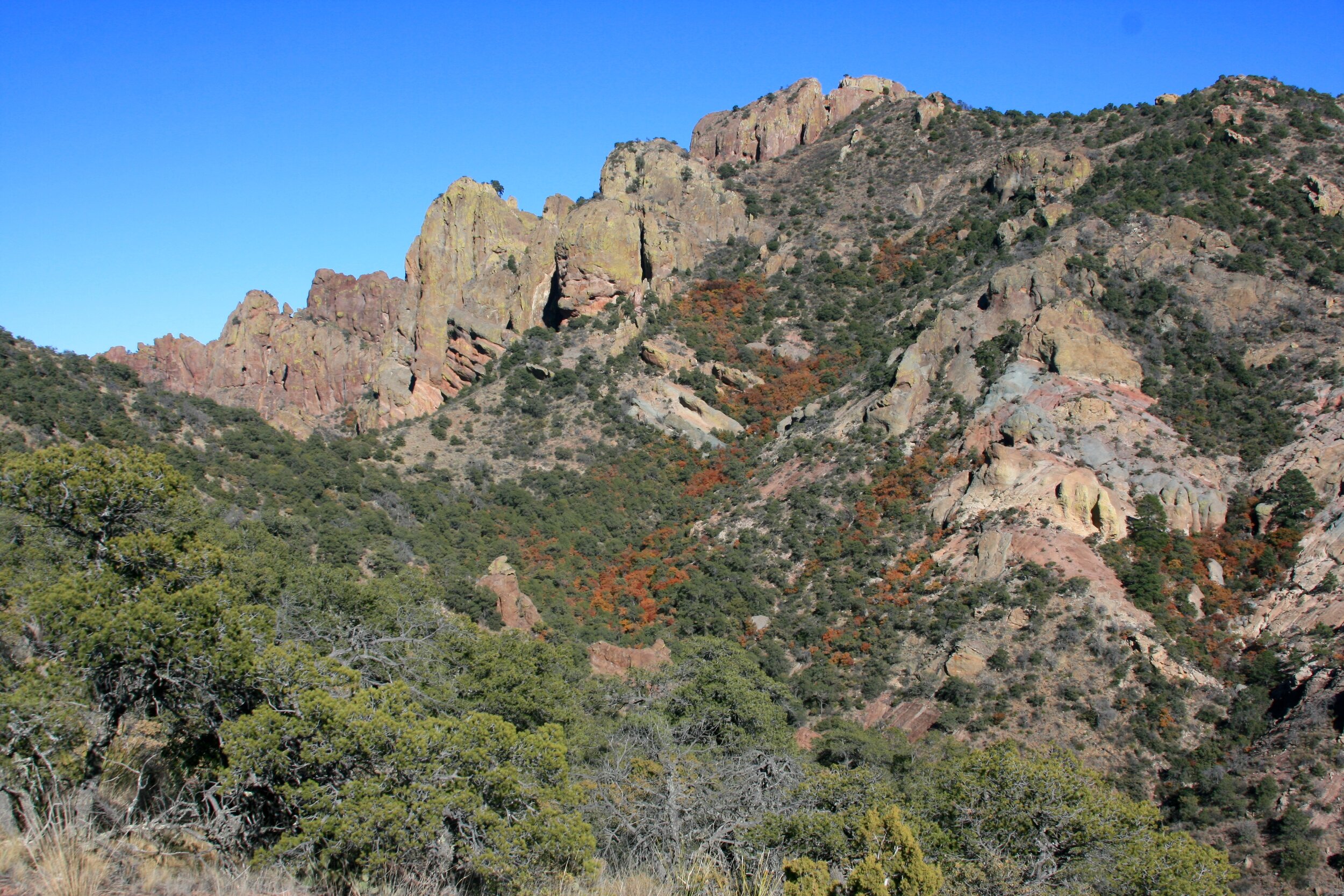
View of Chisos Mountains from Emory Peak Trail
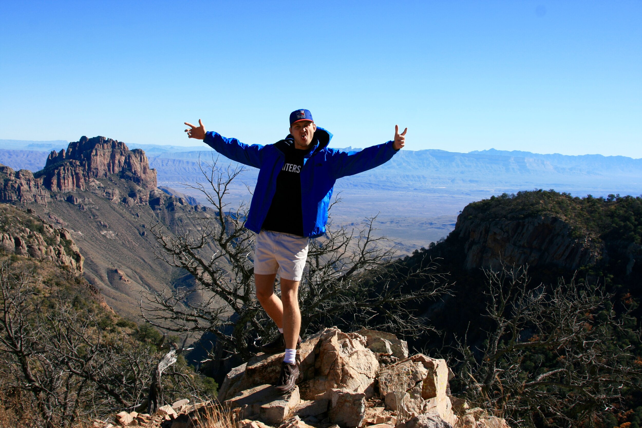
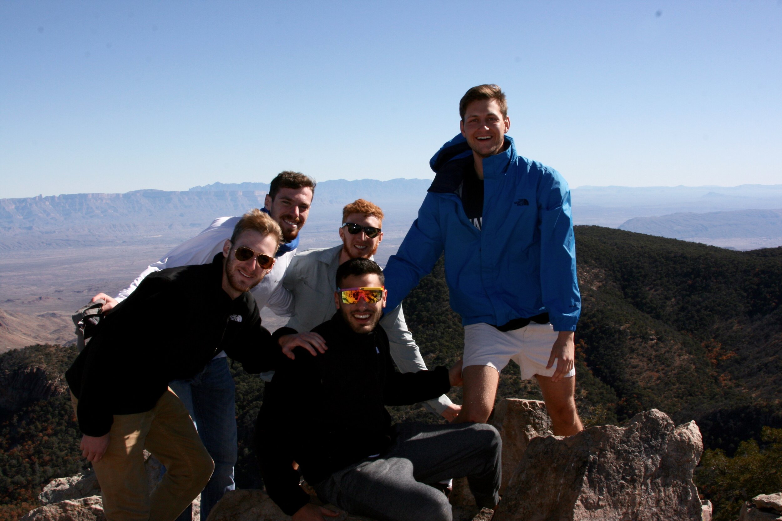
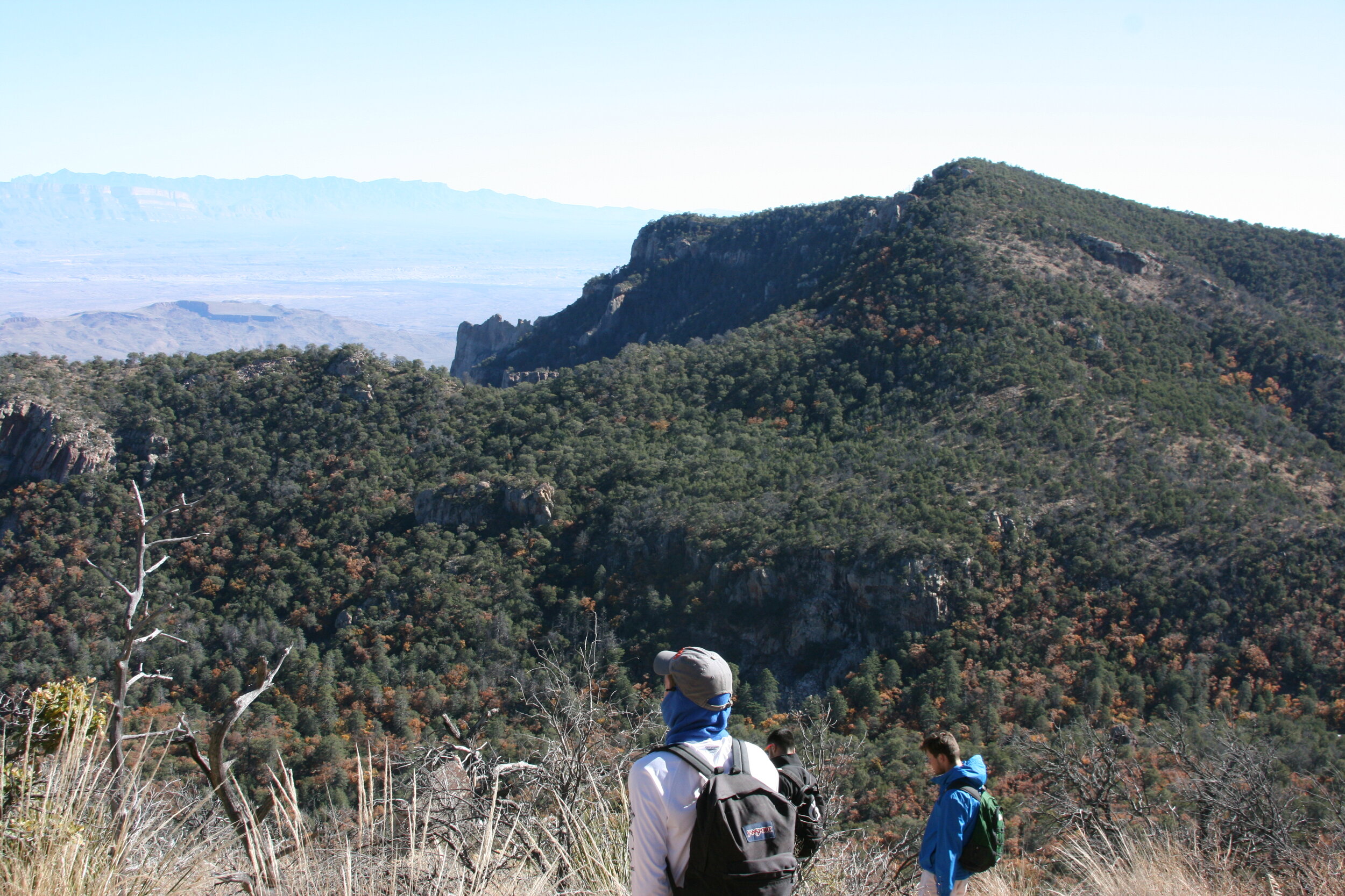
Emory Peak: On your ascent towards Emory peak, you’ll trek through wooded forests, grassy pastures, and steep rocky inclines which ultimately lead to your destination at the highest point in the park. The majority of the hike requires moderate effort until the final 0.25 miles, where the trail becomes strenuous, steepening significantly to a final 10-yard scramble up an exposed rock face. Once conquered, your reward is 360° of unencumbered views. Fun fact: the antenna & equipment at the top are part of Big Bend’s two-way radio system.

View of Chisos Mountains from Lost Mine Trail
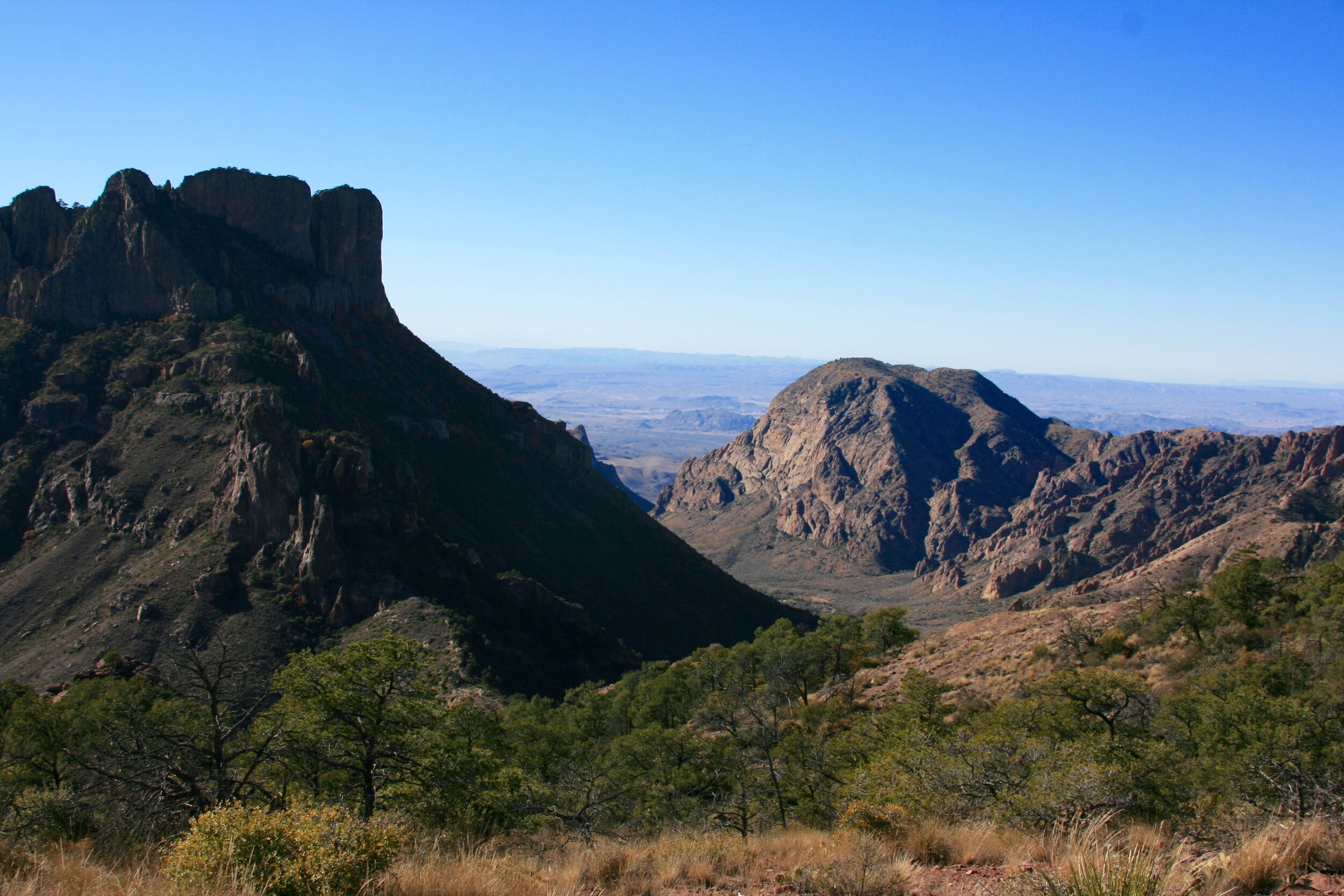
Lost Mine: The Lost Mine trail leads through a heavily wooded forest of juniper, oak, and pine. Rather than a direct incline, the path contains switchbacks towards a flattened ridge-line at the top of the trail which opens to beautiful views of the Sierra del Carmen and Pine Canyon.

Window Trail Loop
Window Trail (Bonus): This trail leads you up and around the Chisos Basin; through mountain forests that are a far departure from the low surrounding Chihuahuan Desert. On this hike you’ll see wildlife including deer and possibly even bears, mountain lions, and peregrine falcons. The best views are from the titular south rim where you will see rolling green and golden chihuahuan mountains and even Santa Elana Canyon in the south west. One can get similar views from the lost mine trail but certainly not the same solitude or panoramic brilliance.
Big Bend: Rio Grande Trails
Rio Grande Village Visitor Center is located near Boquilla Canyon and has information on the river’s history, but unfortunately, we didn’t have time to check it out. Most of these hikes will bring you just feet from Mexico, and you may even see people crossing the river- we did!

Sanata Elana Canyon
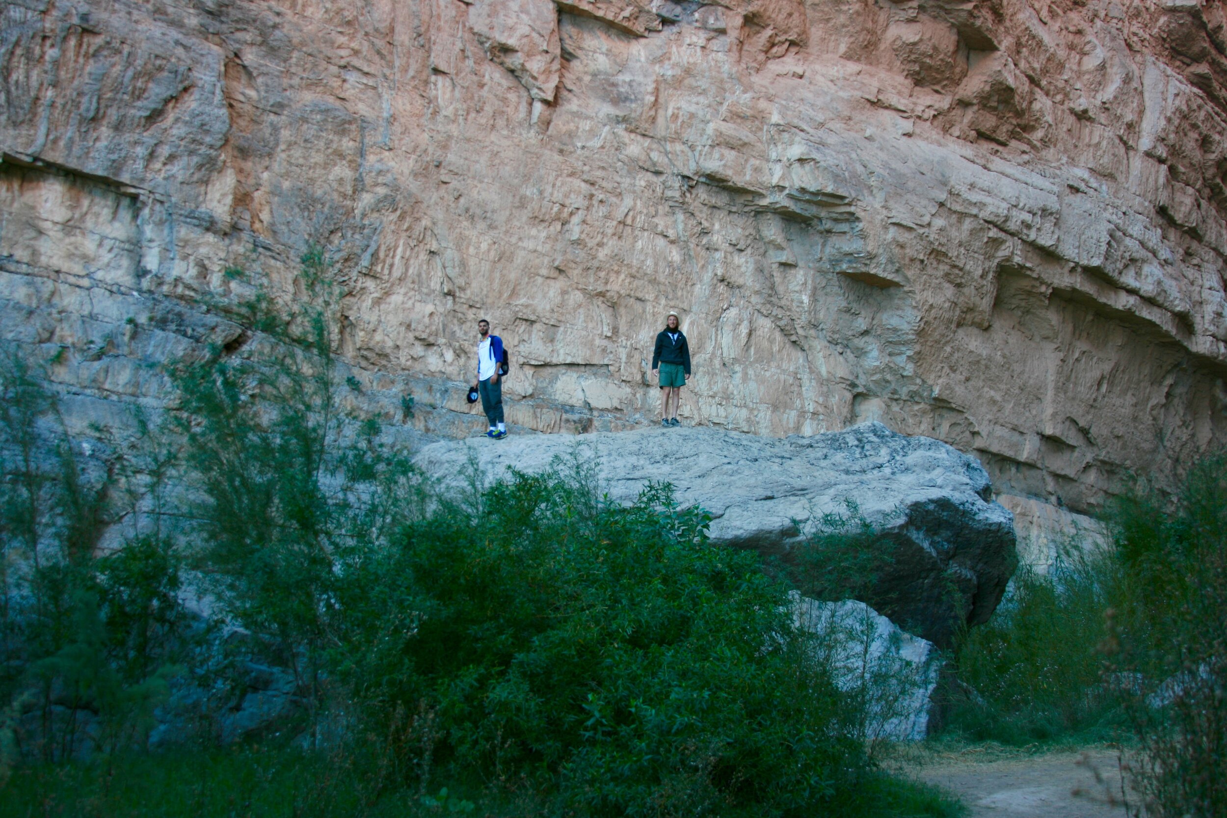
Santa Elana Canyon: This mother of canyons is unique for a few reasons. It literally forms the boarder between America & Mexico. The Rio Grande is America’s official boarder, and slices through the Santa Elana Canyon. The sheer size of the canyon will make you feel trivial, as its walls reach a height of 1,500 feet above the river. The canyon’s mouth is 250 feet wide, but the canyon gets as narrow as 25 feet in some places, due to rockfalls caused by years erosion. Hiking through this trail brings you up close and personal with the river as it continues carving away at the canyon walls. The sun rarely enters the canyon, so bring a jacket, as it can get chilly.

Hot Springs Historic Trail
Hot Springs Historic Trail: This trail runs along the Rio Grand, and leads to a natural hot spring. The hike itself is short & flat, but soaking in this geothermal spring is such a unique experience. Try planning to stop here after an intense day of hiking- at 105° F, this natural jacuzzi will help heal your muscles for another day of hiking.

Fishers Tower
Boquillas Canyon: The trail leads to a bluff overlooking the Rio Grande, before briefly entering Boquilla Canyon. Along the way, you’ll find mortar holes that the ancients used to grind spices like chipotle. Across the river, you might see row boats and and even people, since there’s a small Mexican village called Boquillas del Carmen a mile away. Watch out for the elusive Singing Jesus- we weren’t lucky enough to see (or hear) him, but hopefully you will!

Delicate Arch
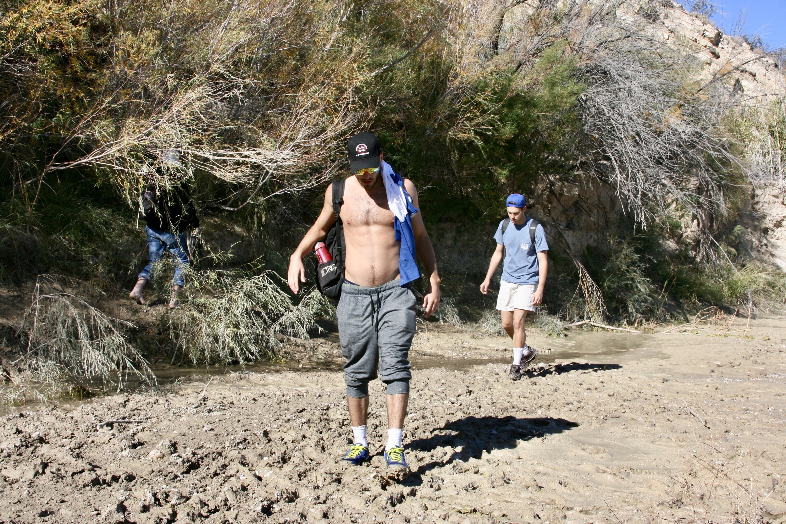
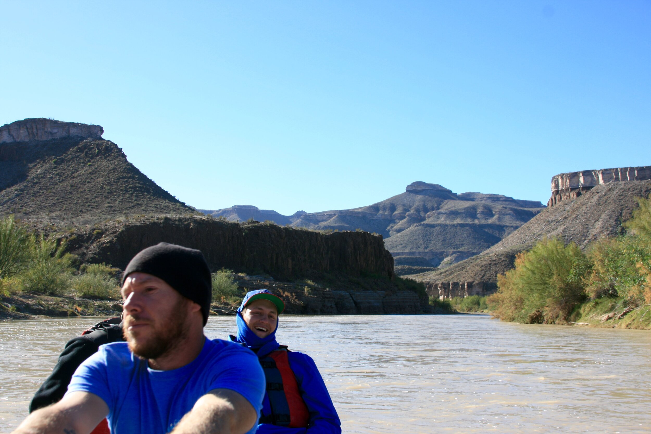
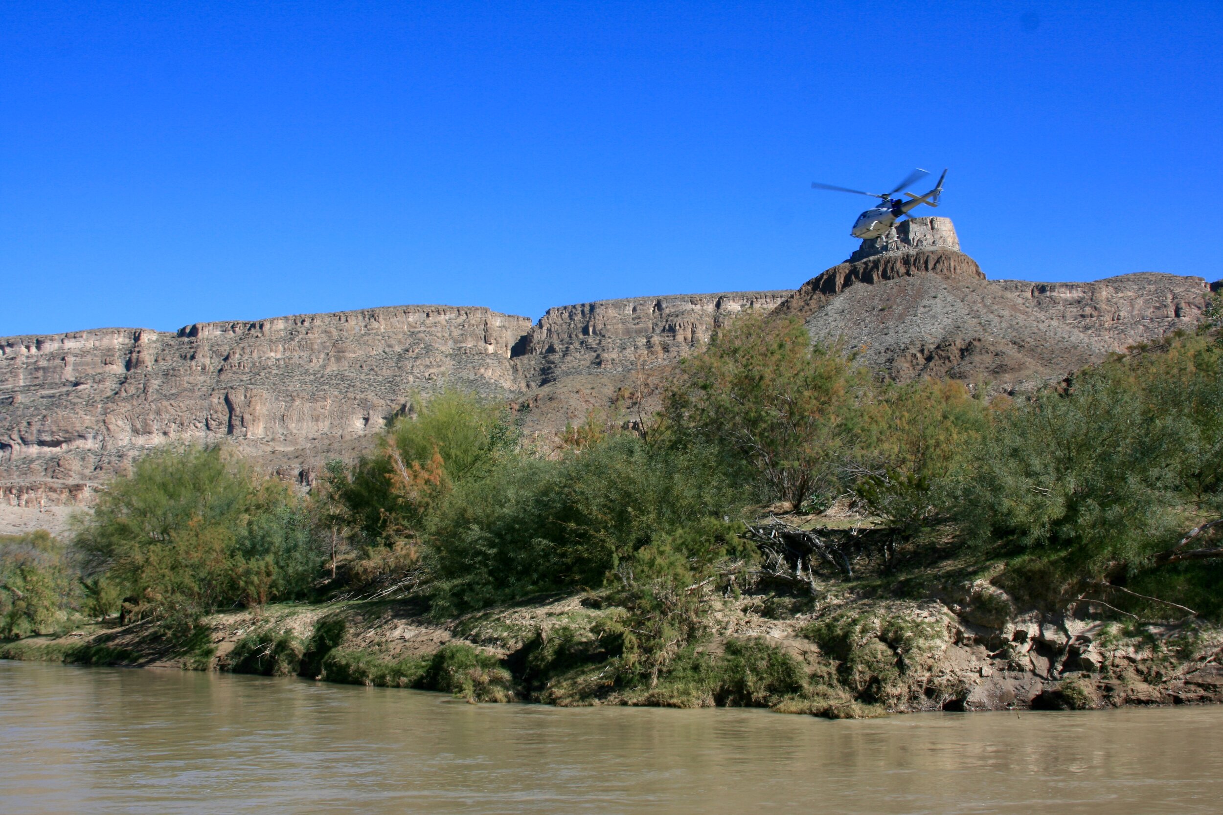
River Raft: Technically not a hike, we highly recommend you plan a rafting trip along the Rio Grande, because it’s a spectacular way to immerse yourself in the ever changing scenery. You’ll start in a somewhat open channel that becomes increasingly more narrow until you emerge at the mouth of Santa Elana Canyon. We booked our trip with Far Flung Outdoor Center. Not only did their guide provide expert advice on local history, but he was very accommodating, frequently pulling the raft onto shore to give us a chance to explore the canyon’s nooks & crannies. We even spent some time on the Mexican side (without a passport- shhhh). Some highlights included rockfall remnants, roaming cattle, ancient mortar holes, and a low flying boarder patrol helicopter. It was an incredible experience that left us feeling like frontiersmen trailblazing across the wild west.
Big Bend: chihuahuan Desert Trails
Insert Overview

Jackson’s Trail
Marufo Vega (Bonus): This hike leads down an old mule trail through the less populated part of the park. Named after Gregorio Marufo, a herder who grazed goats by the Rio Grande, this daunting trail eventually leads to a secluded part of the Rio Grande. This hike in the lower desert area can exceed 110 degrees F in the spring and summer months. The hike avoids the crowds in the Chisos Basin which grants extreme solitude

Double Arch
Cattail Falls (Bonus): Coming Soon

Balanced Rock (Bonus): Coming Soon

Tuff Canyon (Bonus): Coming Soon
Big Bend Ranch: State Park
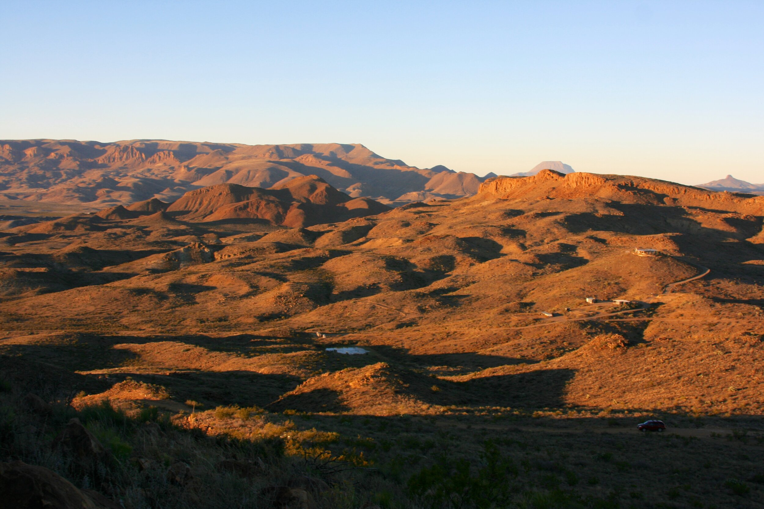
The scenery here is very similar to that of the National Park’s desert section, so if you’re short on time, we’d recommend forgoing these hikes. If you do have time, the drive alone is worth the trip. The park’s main thoroughfare (Farm to Market Road 170 | FM 170) provides incredibly gorgeous views that overlook a never ending valley.

Chesler Park Loop
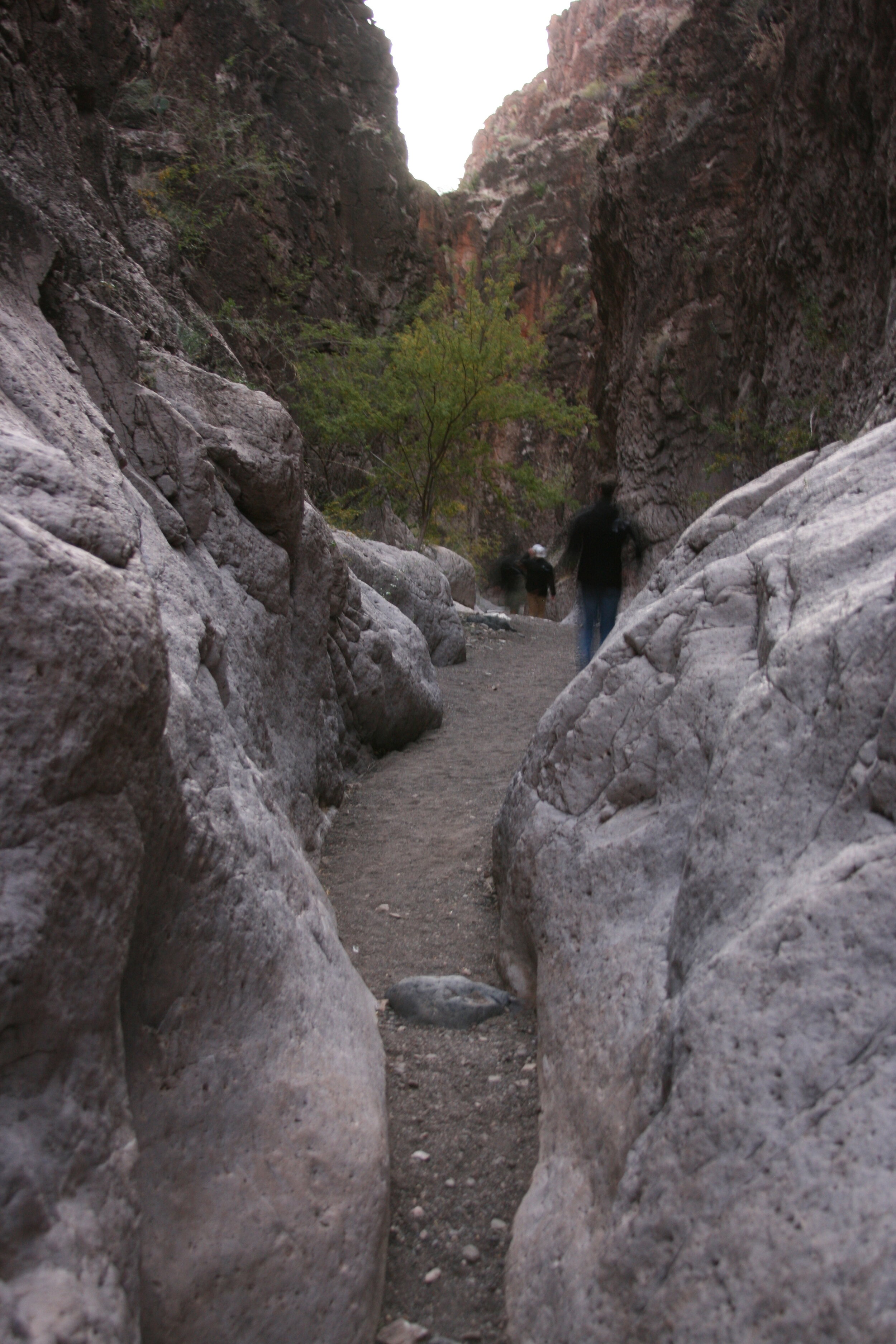
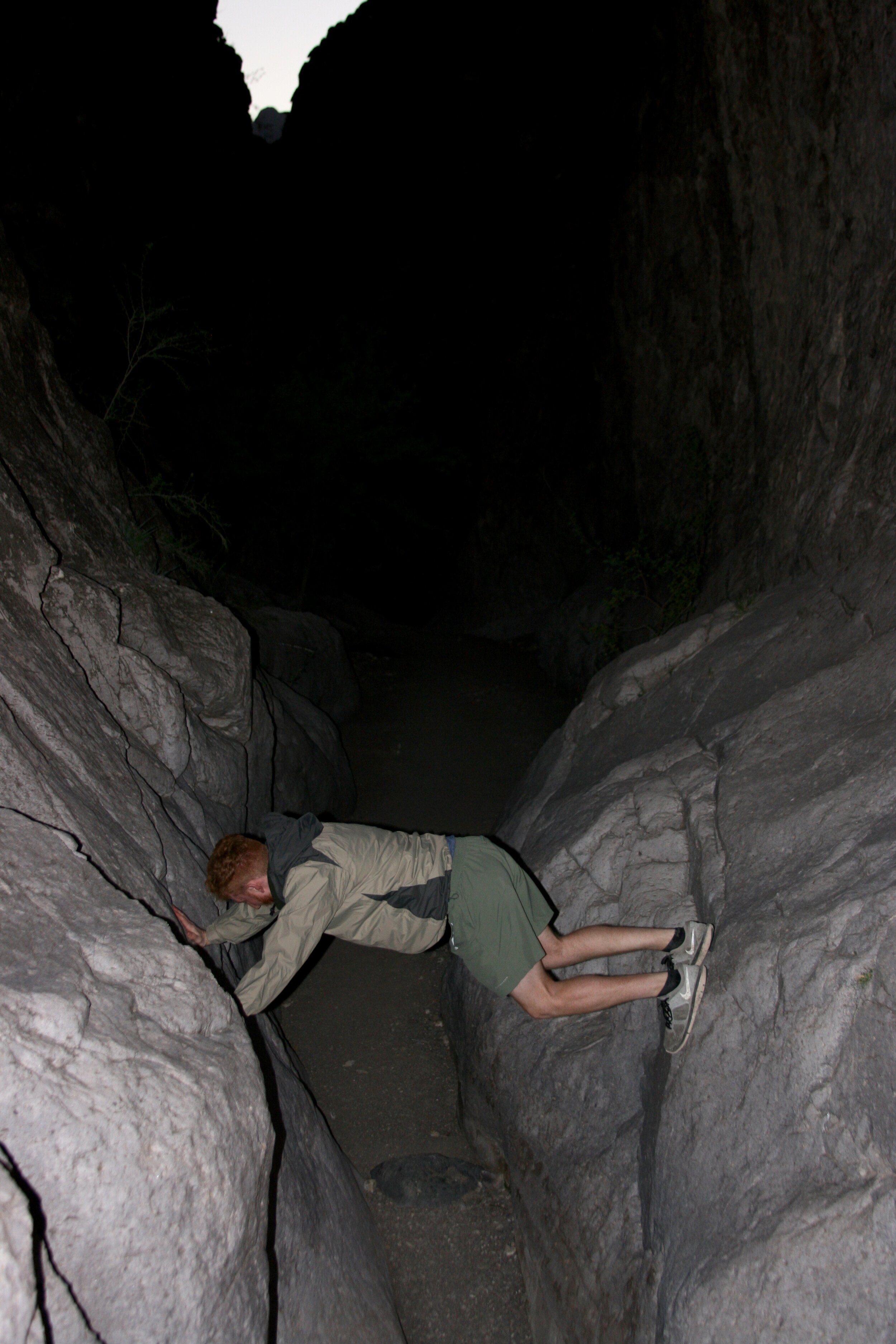
Closed Canyon: One of the few marked slot canyons in the area, Closed Canyon is a narrow trail that follows a water runoff into the Rio Grande. Make sure there is no rain in the forecast before hiking. Like many slot canyons, it’s prone to flash flooding. The trail was a mix of flat terrain, with the occasional rocky step-downs/ups that required the use of both hands, and feet. The trail doesn’t get much sunlight to begin with because it’s wedged tightly between two towering walls. We started the hike at sunset, and quickly learned how dark it was capable of getting.

Mesa Arch
Hoodoos & Balanced Rock Trail (Bonus): Coming Soon

Green=Hikes, Blue=Driving, Purple=Stops
Stops, Lookouts & Scenic Drives
These points are fun to look at, but don’t require too much meandering, and you can even see most of them from your car. Their locations have also been included as purple dots in the embedded map.
Big Bend National Park
Fossil Discovery Exhibit: This new (c. 2017) self guided museum illustrates 130 million years of geologic history & fossils.
Luna’s Jacal: This 4-foot Jacal (sandstone dwelling) was built by Mexican pioneer Gilberto Luna in 1890.
Mule Ears Lookout: This pit stop perfectly frames the “Mule Ears” rock formation
Ross Maxwell Scenic Drive: This 30-mile road provides picturesque views of the park and leads towards Santa Elena Canyon.
Mule Ears Lookout

Luna’s Jacal
Quick Tips
Park Entrance Fee: $30 for Big Bend National Park (7-day vehicle pass, good for all members in the car).
Water: Drink responsibly. The visitor center has a water filling station, and it’s highly recommend you bring a camelback and a few additional water bottles. It’s better to have more water, than not. We carry 3-7 liters depending on the day.
Hiking Food: Before morning departure, everyone grabs enough food to satisfy them on the trails. The main sustenance is usually two sandwiches: Turkey/Salami & PB&J. We’re also big believers in the power of snacking. We average between 6-10 munches a day. Anything edible makes for a good snack, and some of our favorites include bars (Cliff, RX, Granola, Nature Valley), carrots, nuts, dates, oranges, animal crackers, pop tarts, and peanut butter crackers.
Dining: We cooked all meals, but our final dinner at the Starlight Theater Restaurant. Breakfast is usually eggs & oatmeal. Dinner varies on what we buy at the grocery store, but we try to eat a lot of proteins and carbs. We prepare and eat dinner whenever we return to home base, which can get pretty late.
Clothing: You’re going to be active and sweaty, so wear appropriate clothing. Depending on the time of year & time of day, weather can vary drastically, so always check the forecast. Even if it’s supposed to be warm, pack a jacket and long pants because it can get chilly in the mornings & after sunset, especially in the canyons.
Terlingua Town Center: Terlingua is a funky boarder town that feels more Mexican than American. Some points of interest include the cemetery, “ghost town”, and the old church. The people are equally as unique- one local took us through an abandoned mining shaft that bore underneath the town. We couldn’t find information about the shaft online, but it was a memorable experience.
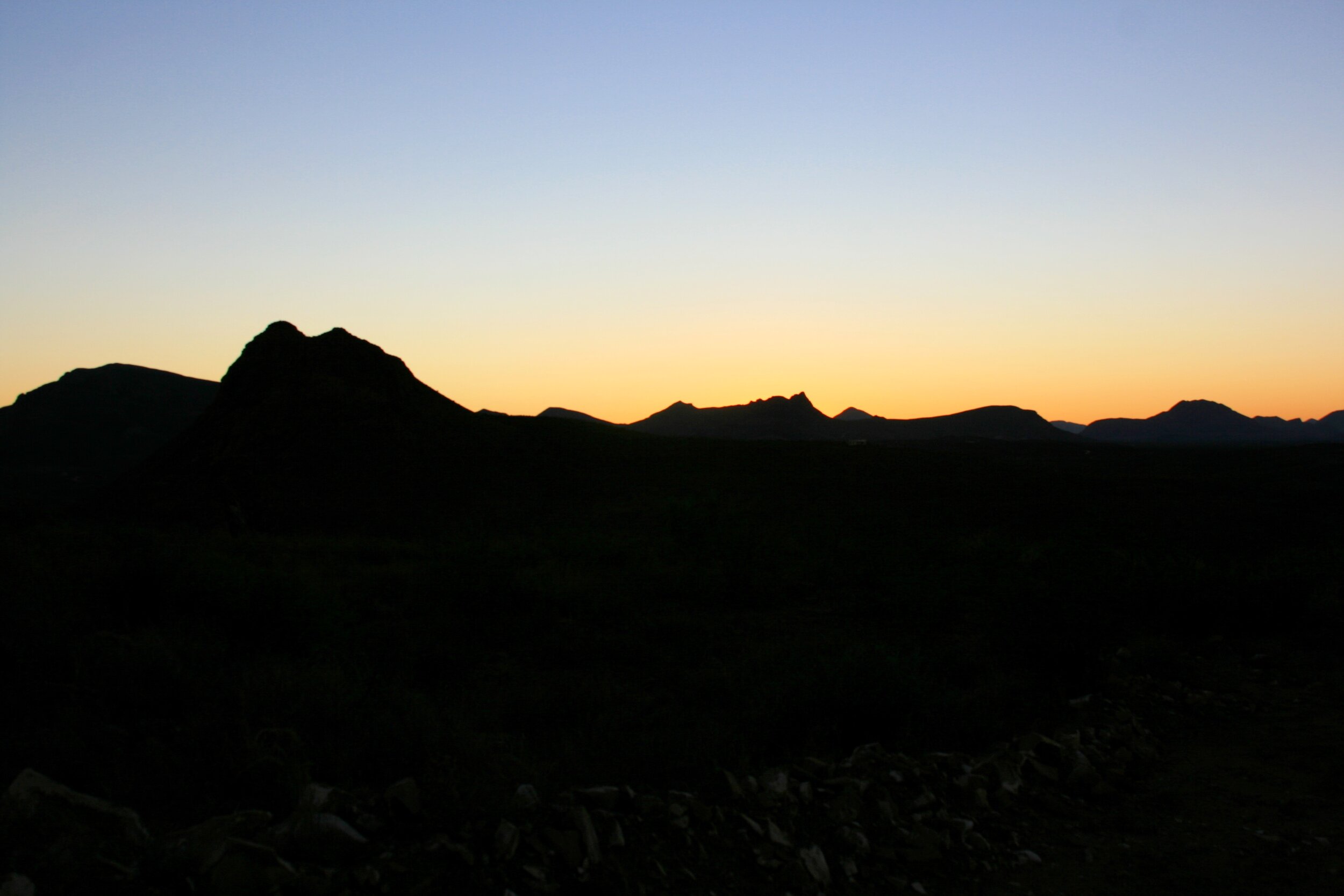
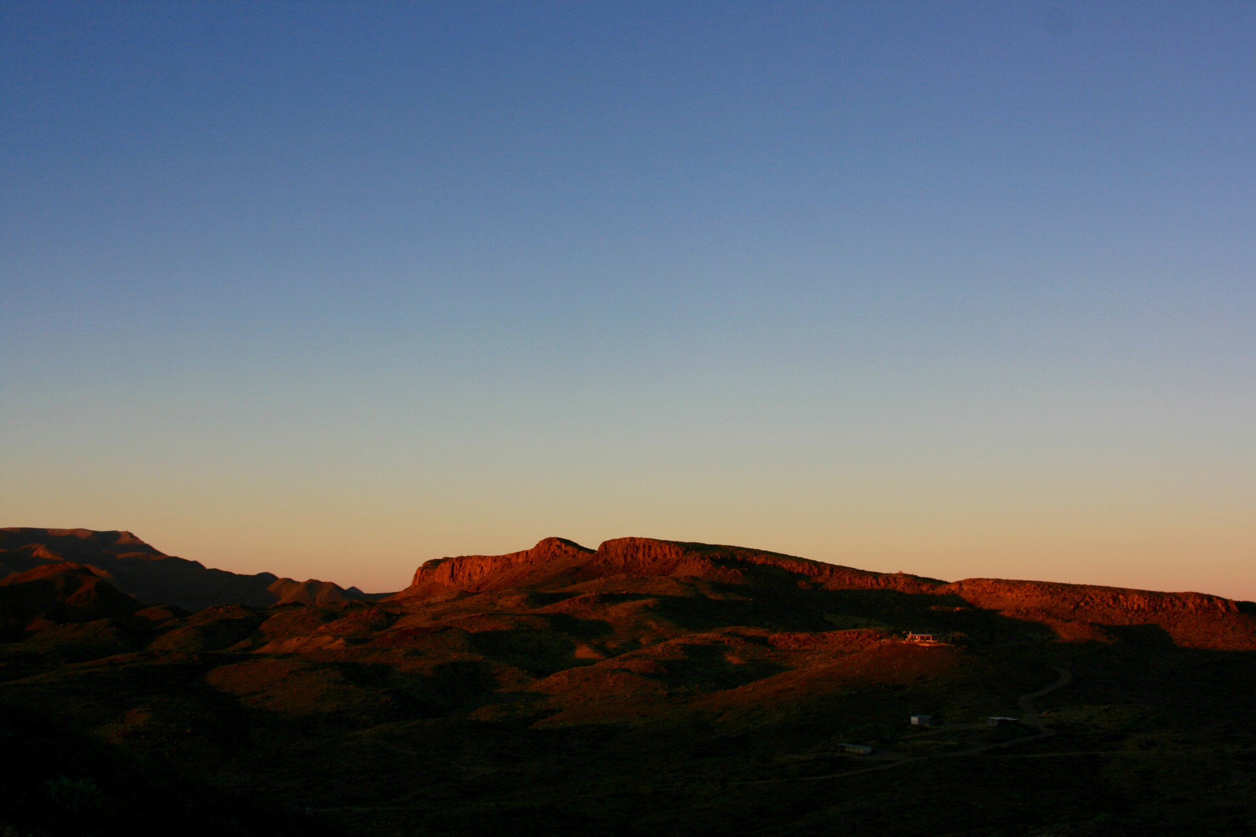
Inverse Sunsets: The sunset’s are magnificent, but the inverse sunsets are the real entertainers. Suggested by the locals, turn your back to the sun as it sets, and experience the rusted glow of the desert landscape.
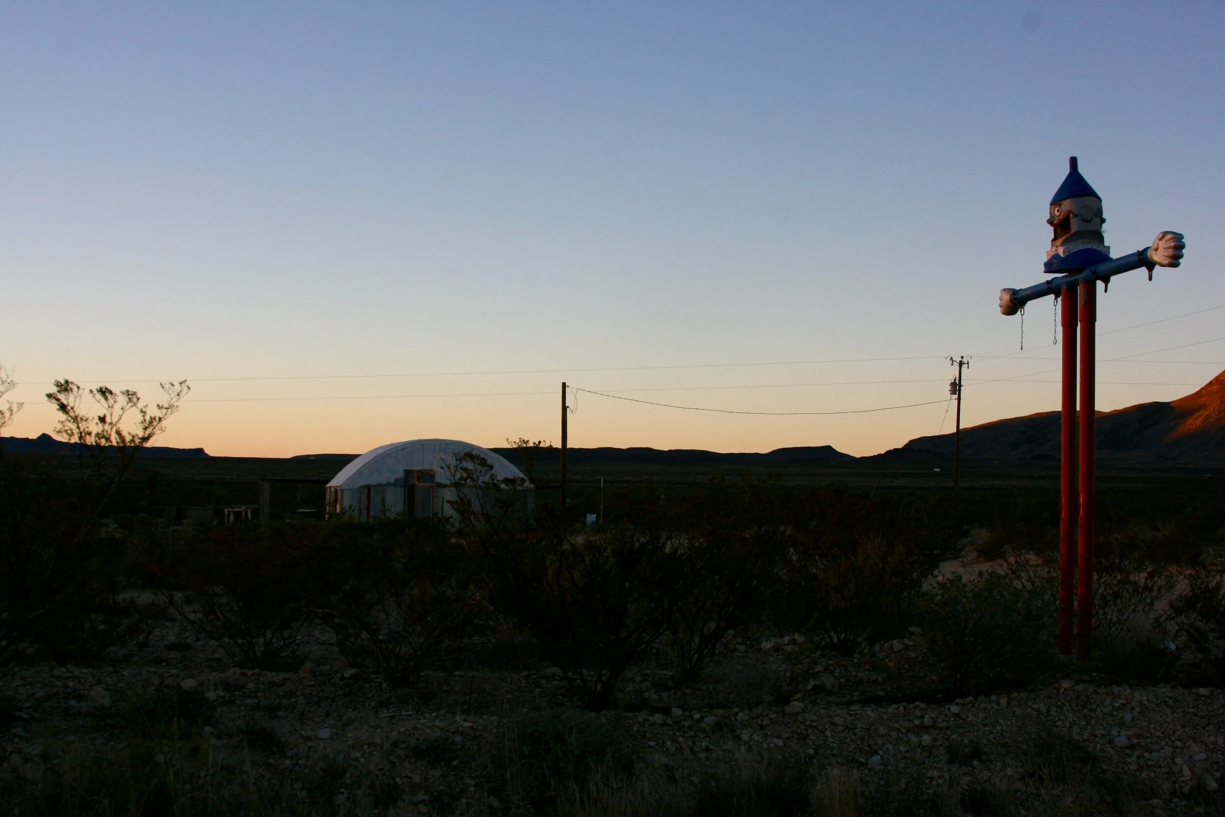
Lodging: We stayed at an AirBnB owned by Curt Swaford in Tarantula Ranch. He is a very hospitable man with many interesting stories to tell. Upon arrival, we hiked along the mountainside ridge adjacent to his house.
Wildlife: Be on the lookout for animals. In just three days, we saw deer, javalinas, bats, roadrunners, jackrabbits, and cayotes. Additional species include black bears, foxes, bobcats, mountain lions and much more.
Gear: No technical gear necessary for these hikes (though people who struggle with balance might benefit from using hiking poles as they help through uneven terrain).
Sunscreen: Don’t forget it.
Grocery Shopping: In an effort to maximize hiking time, we bought groceries at Cottonwood General Store between our Home Base & the park.
Sunset/Daylight: Always know what time the sun sets. You don’t want to be stuck hiking through the dark, so plan to leave yourself with enough daylight to safely return to your car.
Say Hi: The best part of hiking is meeting eclectic nature enthusiasts & local townies.
Enjoy the adventure!
Feel free to reach out with any questions.