Joshua Tree & Death Valley
Featuring: Mojave National Preserve, Alabama Hills, and Los Angeles
Overview
5.5 days of hiking & exploring the Southern California area. Below you will find a detailed breakdown of our experience, including maps, schedules, photos, and trip highlights.
Joshua Tree: 3.5 Days - 8 Hikes - 2 Notable Points
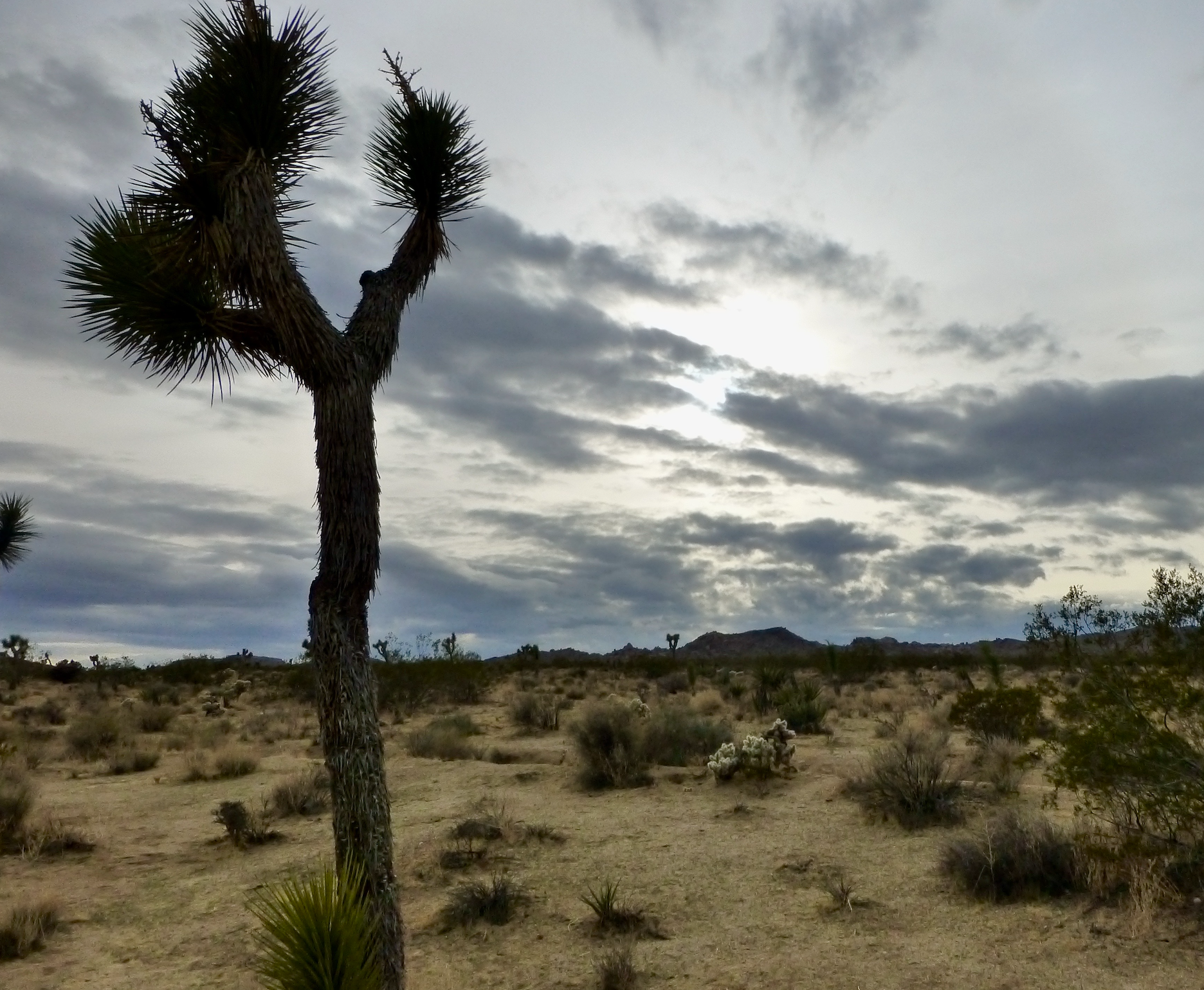
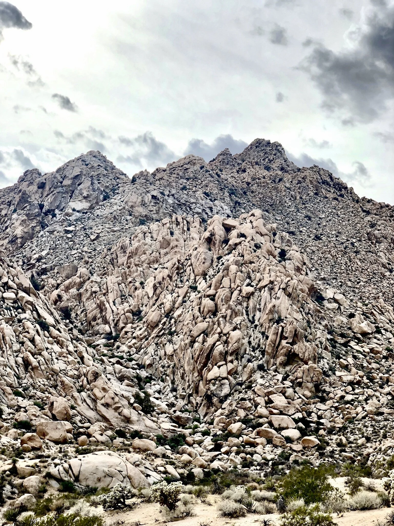
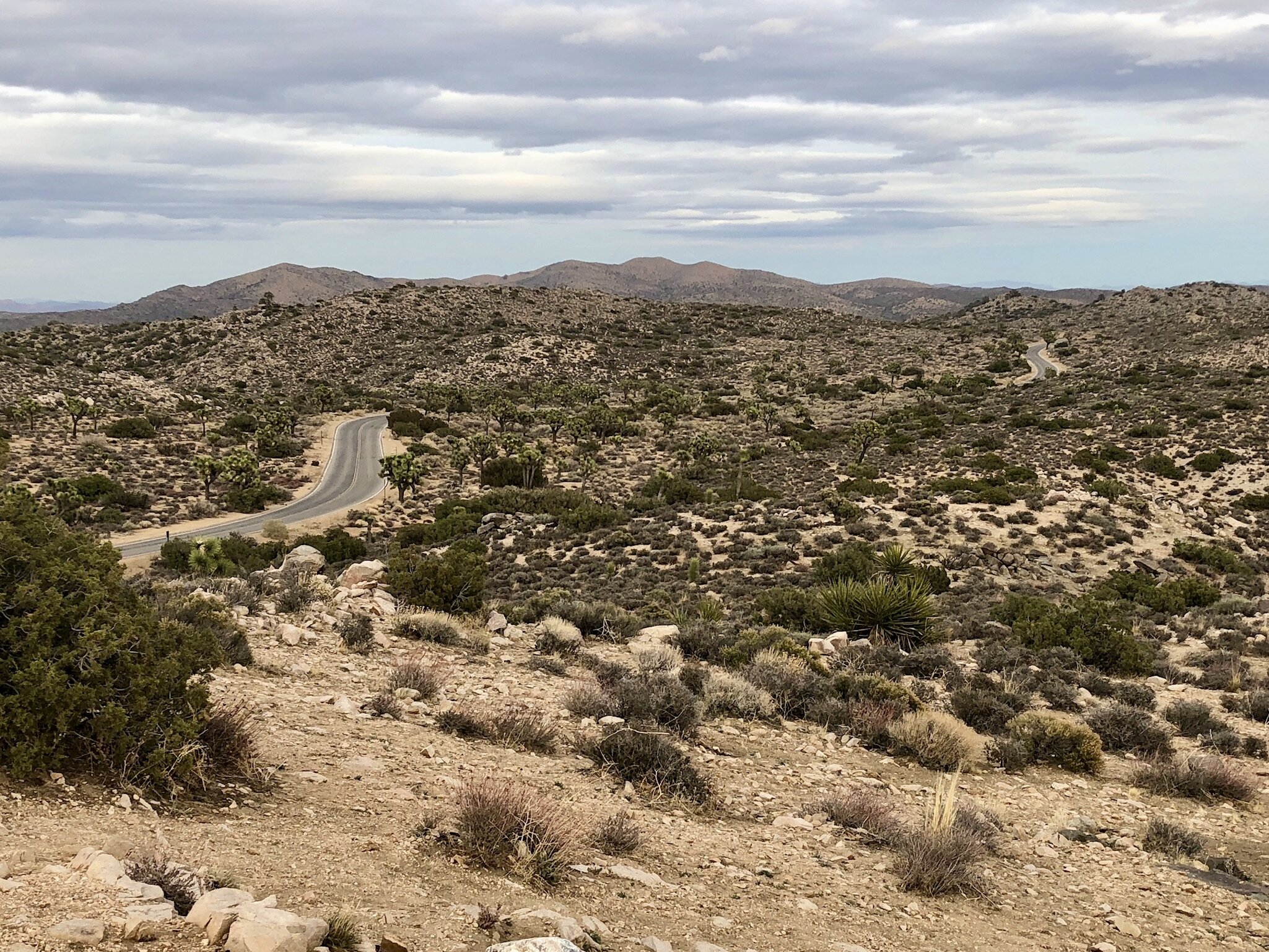
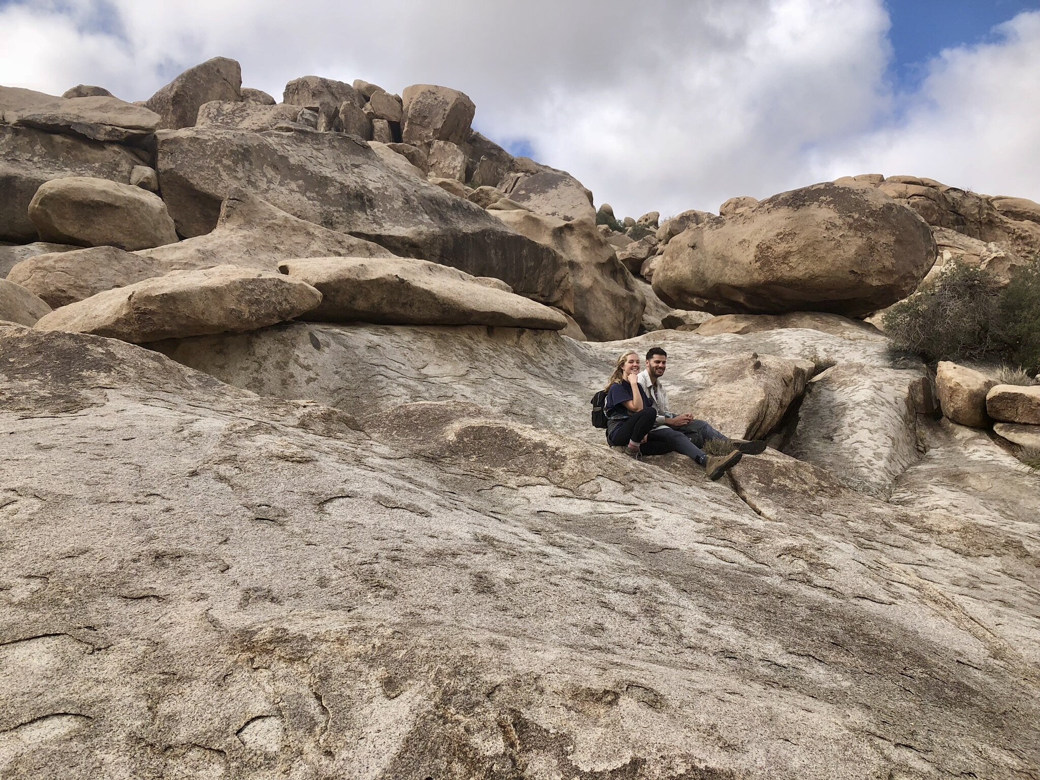
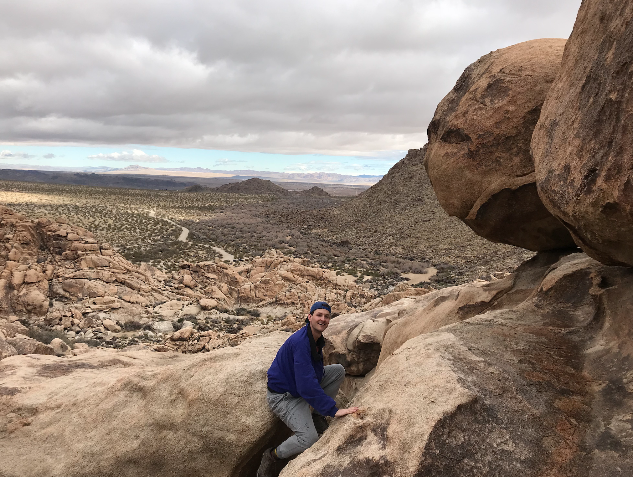
As the name suggests, the park is covered with Joshua Trees. Legend has it, these prehistoric looking “Desert Daggers” earned their name from the mormons who viewed the limbs reminiscent of Joshua extending his arms in prayer. Additionally, the park is known for its enormous rock clusters scattered throughout the landscape. Individual boulders with rounded edges are naturally piled precariously atop one another to create these navigable mounds. The park’s main entrance can be accessed through the town of Joshua Tree in the Northwest quadrant of the park (the main road runs north/south from California State Route 62 aka Twentynine Palms Highway to I-10). Much of the park’s east side has been dedicated as a wilderness area and is not easily accessible.
Death Valley: 1 Day - 4 Hikes - 4 Notable Points
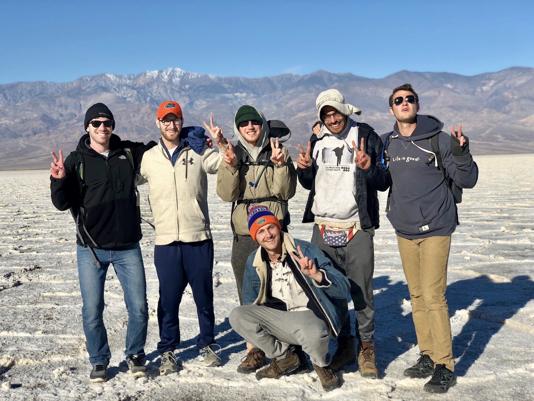
The largest & hottest National Park in the lower 48, Death Valley is roughly the size of Connecticut & can reach temperatures of over 130° F. The park holds other extreme accolades as the driest and lowest place in North America; receiving an average annual rainfall of only 2.36 inches and located 282 feet below sea level (at its lowest point). This bizarre landscape of sand dunes, salt flats, & rainbow mountains is so other-worldly, it was in fact used to depict the lawless desert world of Tatooine in the original Star Wars film. Avoid visiting in the summer months, as it becomes as inhospitable as it looks.
Mojave National Preserve
Located in the heart of the Mojave Desert, this National Preserve is halfway between Joshua Tree & Death Valley. It’s just one small area in the greater geographic landscape of the Mojave Desert which encompasses Joshua Tree, Death Valley, much of southern California, southern Nevada, western Arizona, and the southwest corner of Utah. The Preserve’s landscape is similar to that of Joshua Tree National Park- covered in Joshua trees but without the rocky mound clusters.
Alabama Hills
Nestled in the Owens valley between the jagged Sierra Nevada and Inyo Mountains, Alabama Hills is a small area of rounded rocks and eroded hills just outside the town of Lone Pine. The area’s unique location & topography has made it a popular destination for Hollywood, and over 400 movies have been filmed here. The name “Alabama Hills” originated when miners sympathetic to the confederacy learned about the raiding activities of the British-built confederate warship, the CSS Alabama. In 1864, The CSS Alabama was destroyed by the Union warship, The USS Kearsage, which is fittingly the namesake of a town just 20 miles north of the Alabama Hills.
Hiking
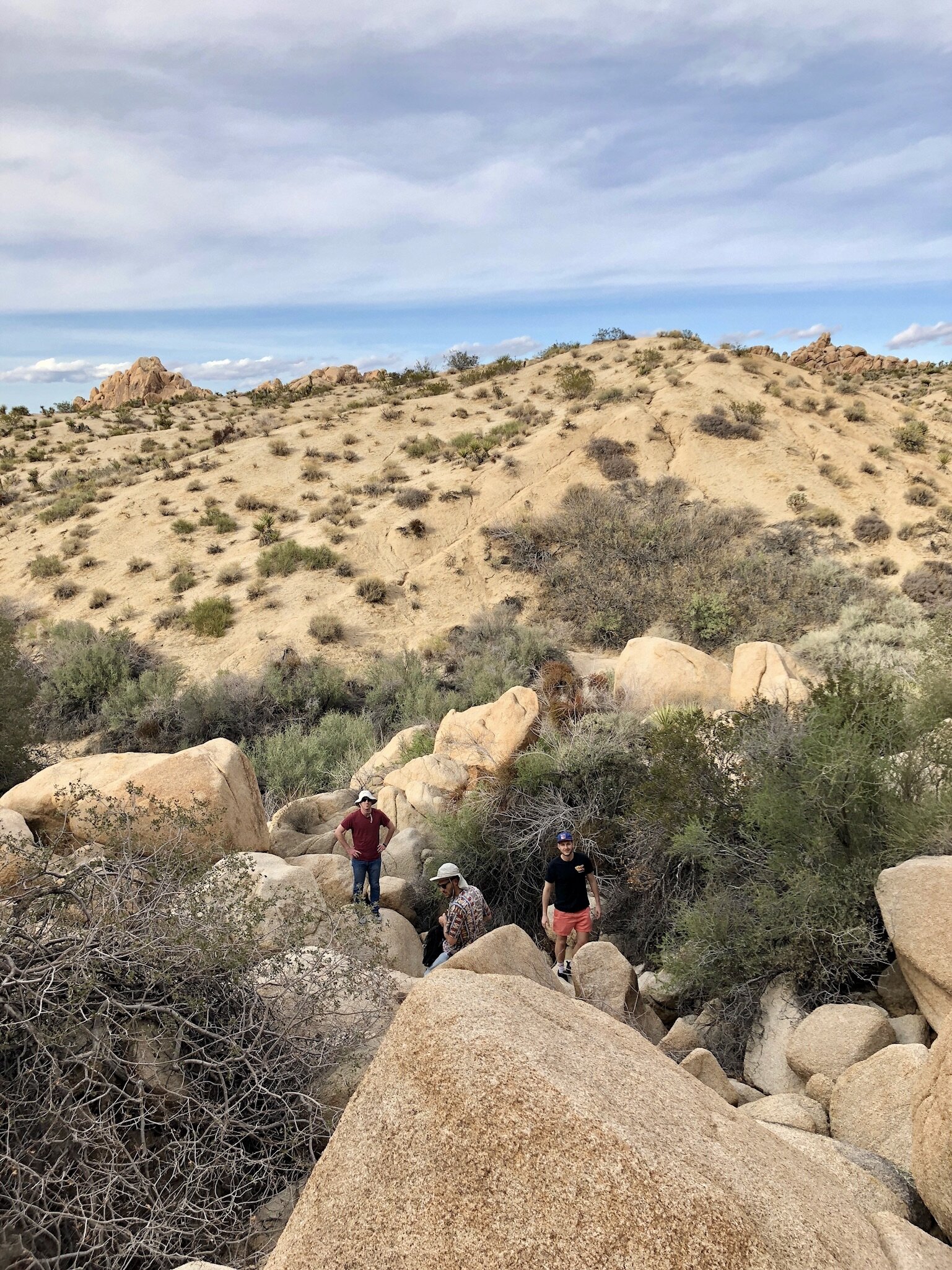
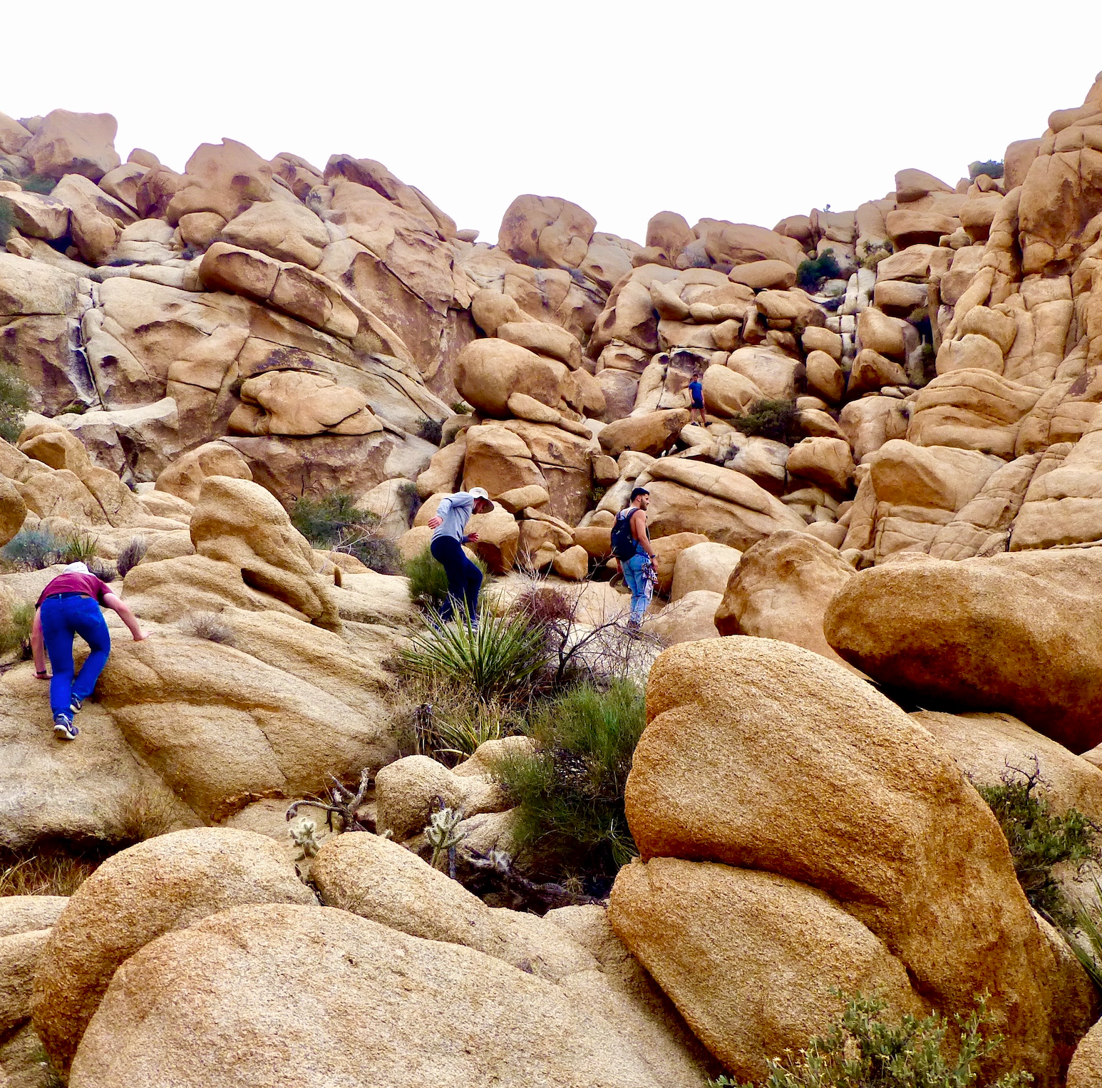
We’ve summed up our experiences in the below chart. In terms of the “difficulty” rating, all trail hikes are more than doable. At Joshua tree, there are opportunities to explore the landscape by climbing, bouldering, and scrambling through rock cluster. Nothing we ascended required technical gear, but we did sometimes find ourselves in tricky situations that required backtracking before continuing via an alternate route. Scrambling/bouldering is about exploring at your own pace. With each new boulder comes a new opportunity to see the wonders of Joshua tree in a different light. If you have an aversion to heights & climbing, you can still walk around the Skull Rock & Arch Rock areas highlighted in “Joshua Tree Scrambles,” but avoid climbing anything out of your comfort zone. Within the “Hike Highlights” section, we’ve provided a brief synopsis of each hike, along with an embedded map that pinpoints exact hiking locations.
Hike Highlights
Joshua Tree Trails
These hikes have defined trails and are on relatively flat terrain.
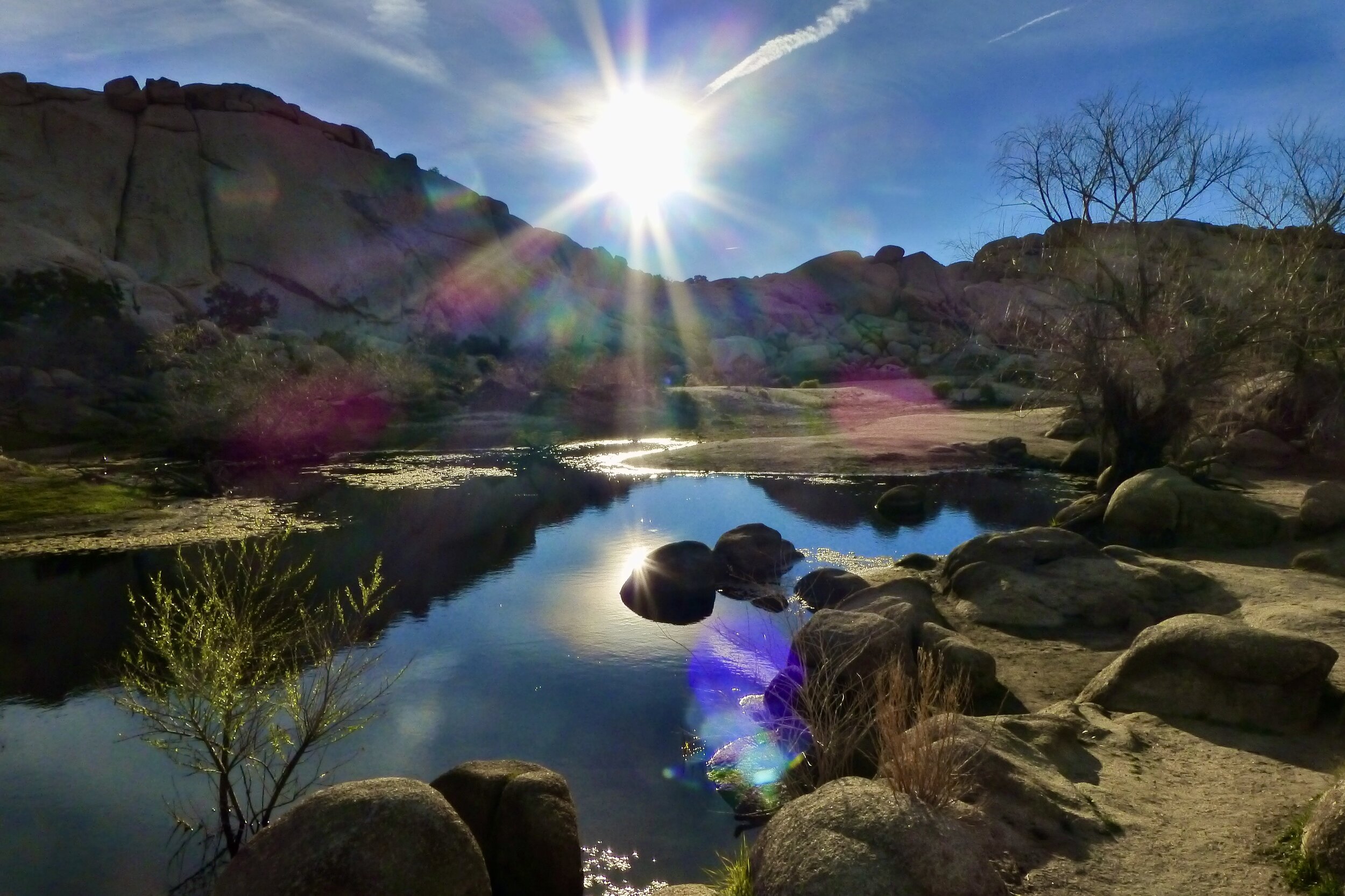
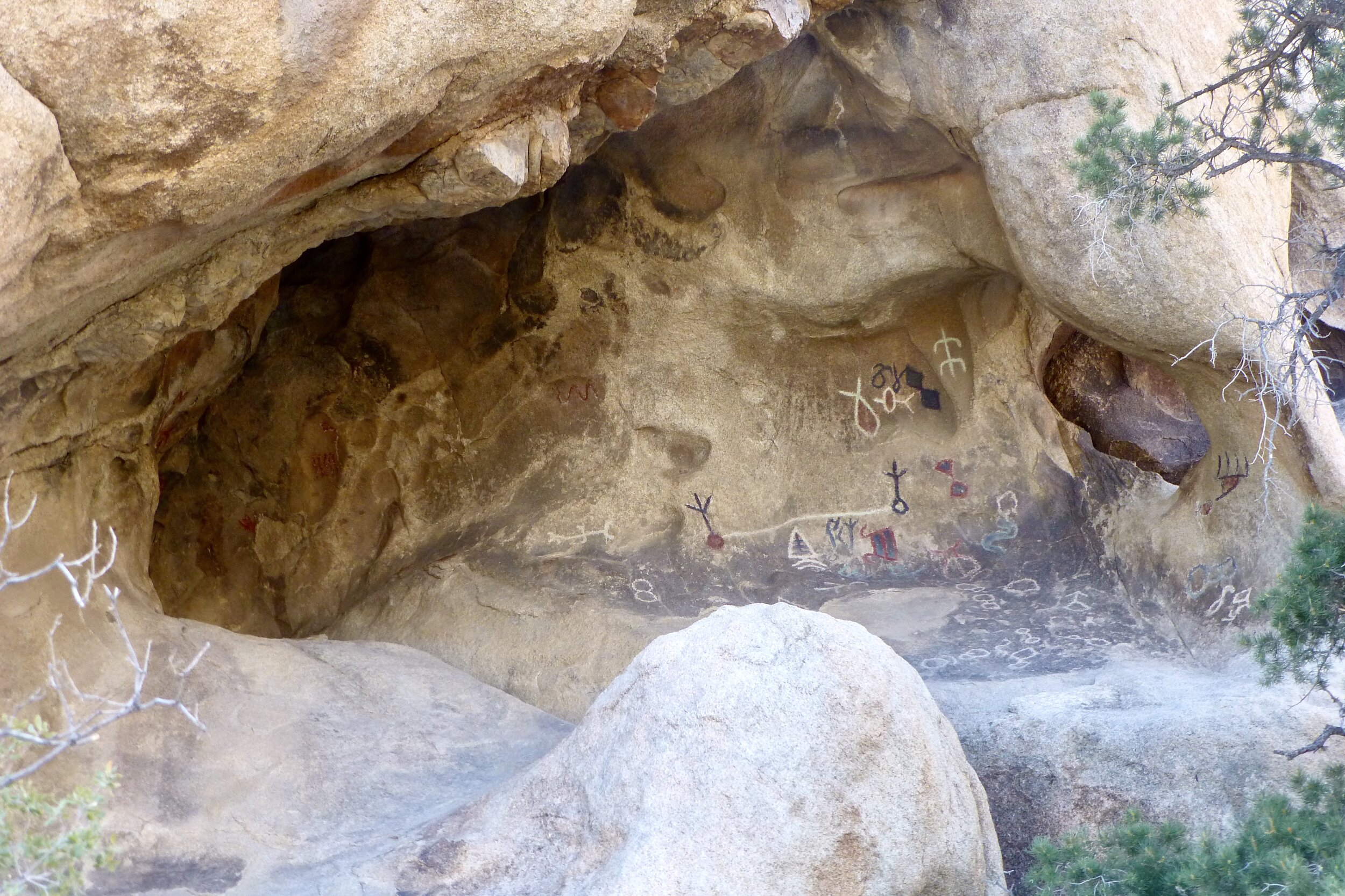
Barker Dam: The main sight is the Barker Dam which was erected by cattlemen in the early 1900s, and there are some great additional sights, including petroglyphs. The trail is a microcosm of the larger park, as it’s lined with Joshua Trees, Cholla Cacti and other foliage native to the region, and you’ll also have great views of rock clusters. This loop trail can get crowded, so try to avoid during peak hours. Hiking in the morning might be best, as you may even see wildlife like Desert Bighorn Sheep which use the dam as a watering hole.
Fortynine Palm Oasis: A literal desert oasis, this trail cuts through hilly terrain before reaching a patch of palm trees above a natural spring runoff. The palm trees were planted by early miners, so that they could more easily locate the spring water. The trail is slightly monotonous, but the destination is incredibly unique, and makes for a great place to enjoy lunch while sitting in the cool shade under the towering trees.
Painted Canyon: This hike is just south of Joshua Tree, in the town of Mecca, California. You’ll drive over unpaved, sandy roads to get to the trailhead, so 4-wheel drive is a must. We barely made it in a minivan, and would recommend a slightly lifted car. The trail starts in flat wash that gets a bit more narrow the deeper you go. There are a couple of ladders to climb that lead through the canyon. Eventually, you’ll be above the canyon walls looking out over the San Andreas fault line, where the Pacific tectonic plate meets the North American Tectonic plate. There are a few offshoots that can be explored during the hike, which will increase total time & distance.
Joshua Tree Scrambles
The rock scrambling was our favorite part of the trip. It’s nature’s jungle gym.
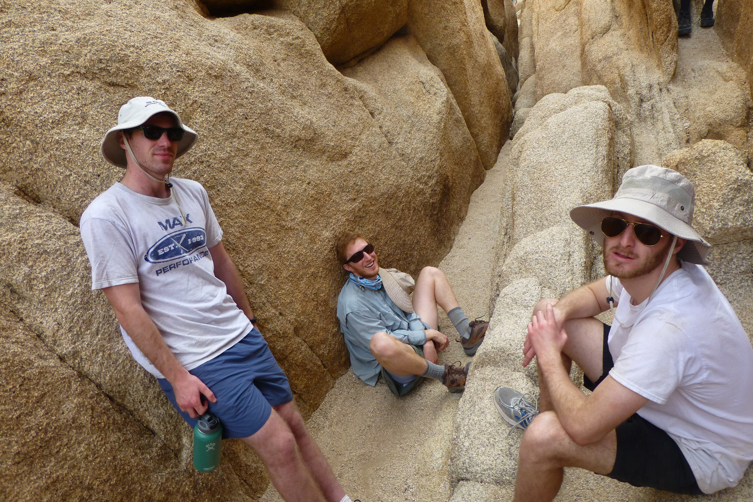
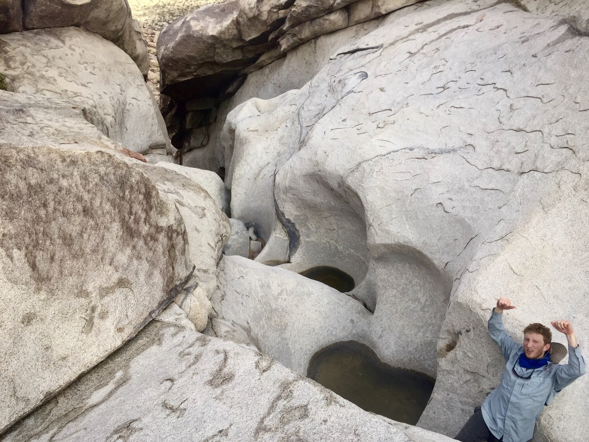
Chasm of Doom: This was hands down the most unique, difficult, and exhilarating activity we encountered. I wouldn’t label it a scramble, because there is more squeezing and shimmying than there is climbing. There’s a definitive path that leads through the roughly 100 yards of rock; taking you up narrow crevices, over large boulders, and through tight squeezes (the narrowest is called “the birth canal”). This granite maze requires modest climbing skills, some courage, and acceptance of getting a bit dirty. You can hire a guide to take you through, though we did it on our own with the help of a few articles. (This helped). Though natural light seeps in, parts of the adventure can get dark, so you may want to bring a headlamp. The Chasm is located in Hidden Valley, but the trailhead is incredibly difficult to find. This video was useful to help find the entrance. For reference, we conquered it in 30 minutes, but plan to be inside for at least an hour, since it’s disorientating. If you’re really hardcore, attack it at night during a full moon!
Indian Cove: There is a short, 0.6 mile trail you can follow which doesn’t require any scrambling. Otherwise, you can enjoy a boulder climb up the nearest rock cluster.
Skull Rock Area: The main attraction in this region is a rock formation with sunken eyes and a nose that resembles a skull. It’s a heavily trafficked area, so after walking around for 10 minutes, we decided to cross the street to boulder climb one of the many rock clusters in the area. It was a spectacular experience. We maneuvered our way to the top of the rock mound as the sun was setting and illuminating the desert landscape.
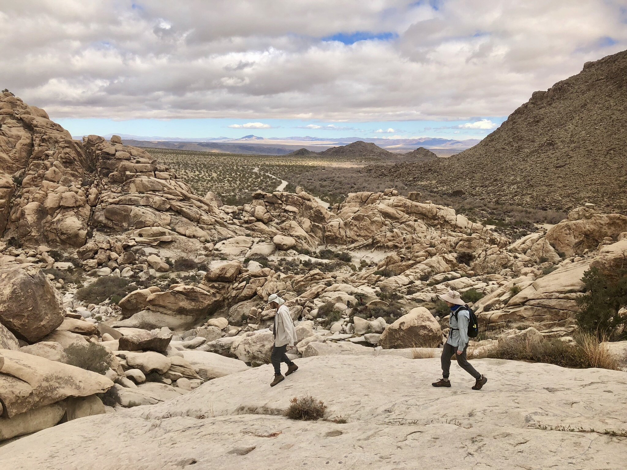
Rattlesnake Canyon: This scramble leads up a creek bed into smooth channels that have been eroded by water. The scramble required a good bit of effort and some backtracking, but reaching the top provides a rock plateau with incredible views of the park. This is another scramble that technically has a 2.8 mile roundtrip trail, but you can spend all day climbing through the maze of rocks. Not sure if we completed the full 2.8 miles, but it was an incredible time.
Arch Rock Area: This is a simple trail that requires very little amount of climbing, which should be easily manageable for anyone in decent shape. The arch itself is only about 0.5 miles from the parking lot, and it’s easy to spend all day exploring & climbing the nearby rocks.
Death Valley Trails
Each area trail proved to be extremely memorable, though the only intense hike was through Fall Canyon. Besides fall Canyon, the below trails were short and allowed you to blaze your own path.
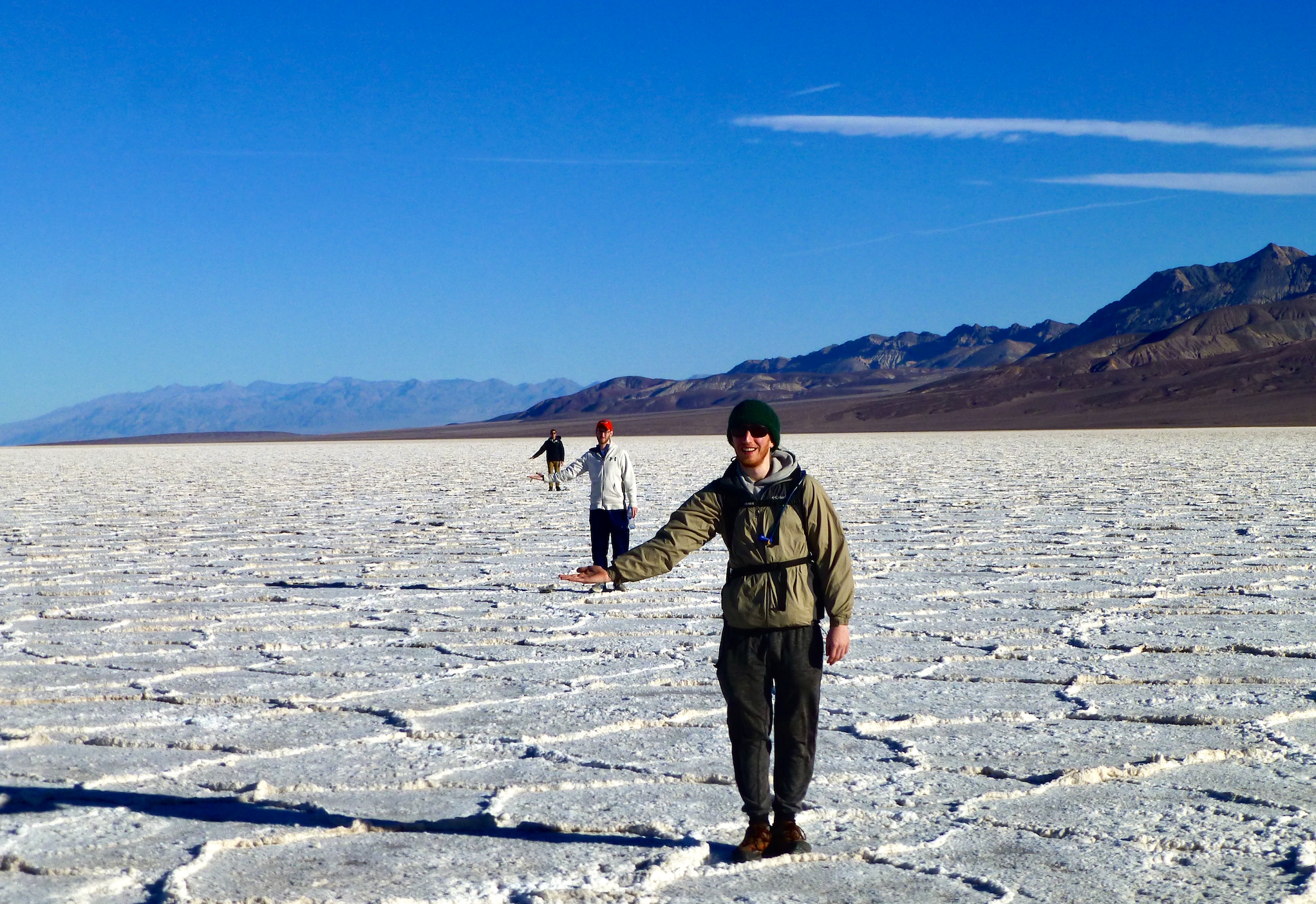
Badwater Basin: This natural salt flat sits 282 feet below sea level, the lowest point in the Continental US. Hear the crunch of the salt as you walk along the layers of crust created by continued cycles of water evaporation. A boardwalk leads from the parking lot directly to these hexagonal honeycomb patterns, allowing you to traverse them without constraint. The flats stretch for miles in every direction, so there is more than enough space to explore.
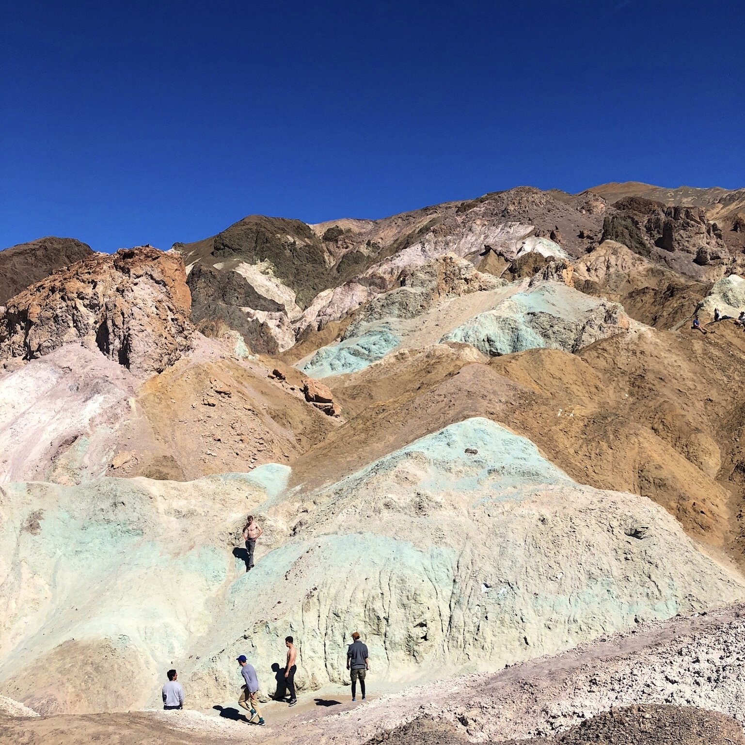
Artist’s Palette: Artist’s Drive road leads you to Artist’s Palette. You’ll see the colors during the drive, but there is nothing like coming face to face with this bizarre geological phenomenon. This trail leads directly through these multicolored badlands.
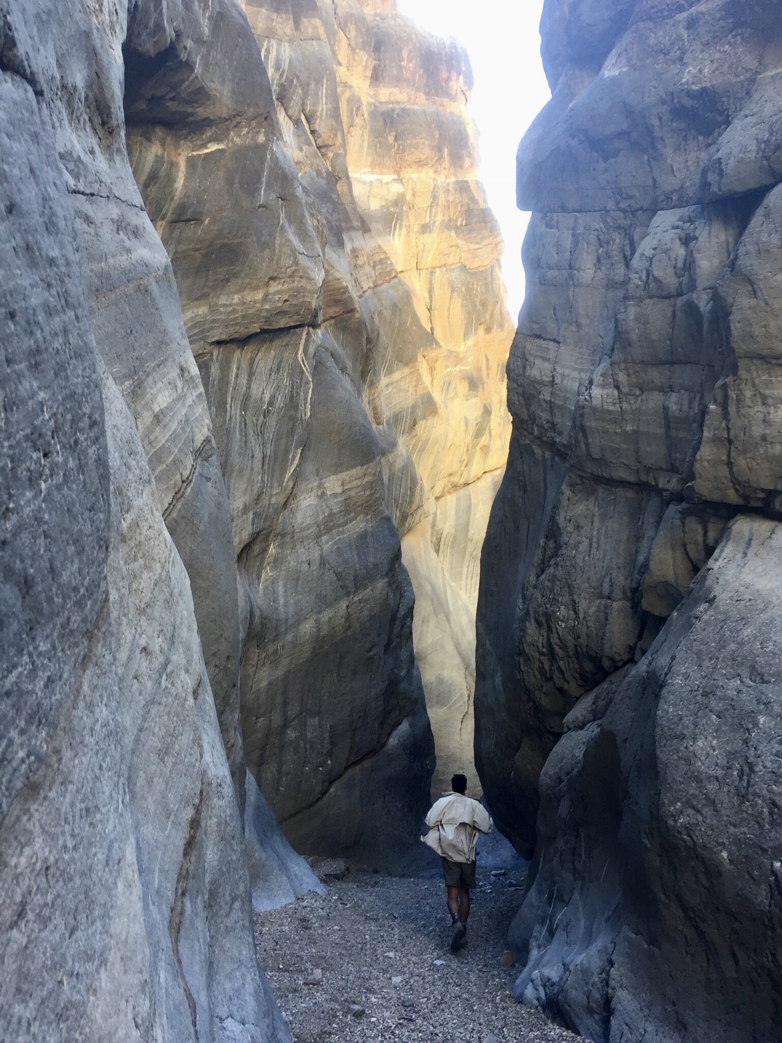
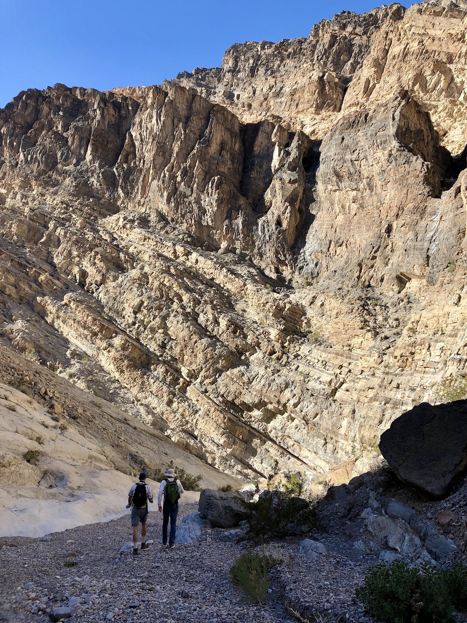
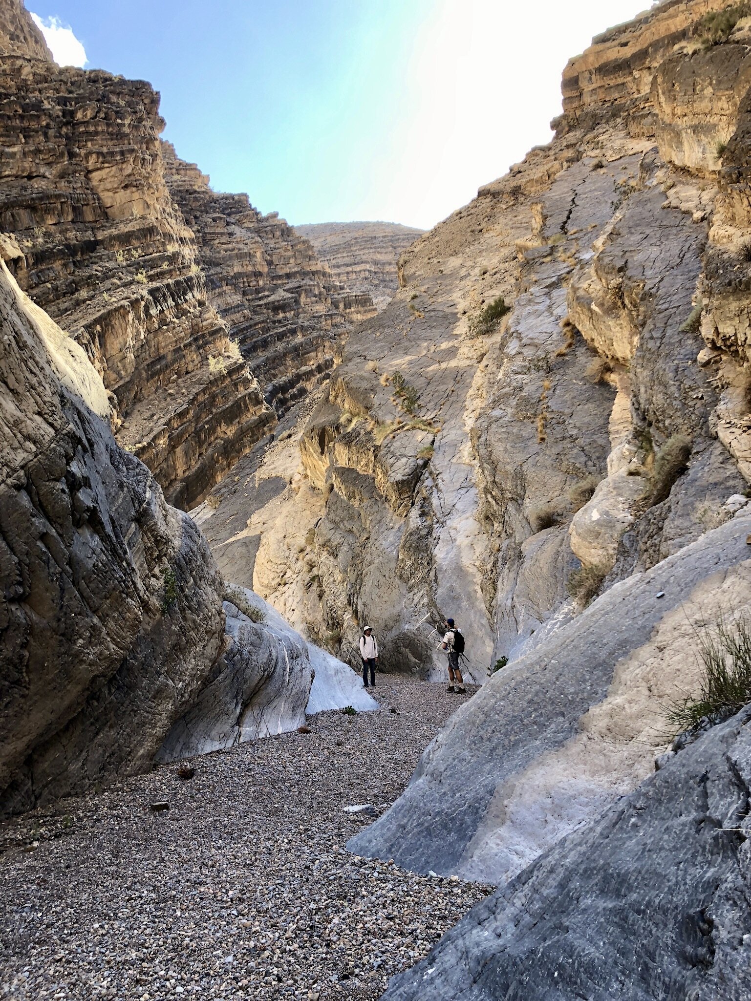
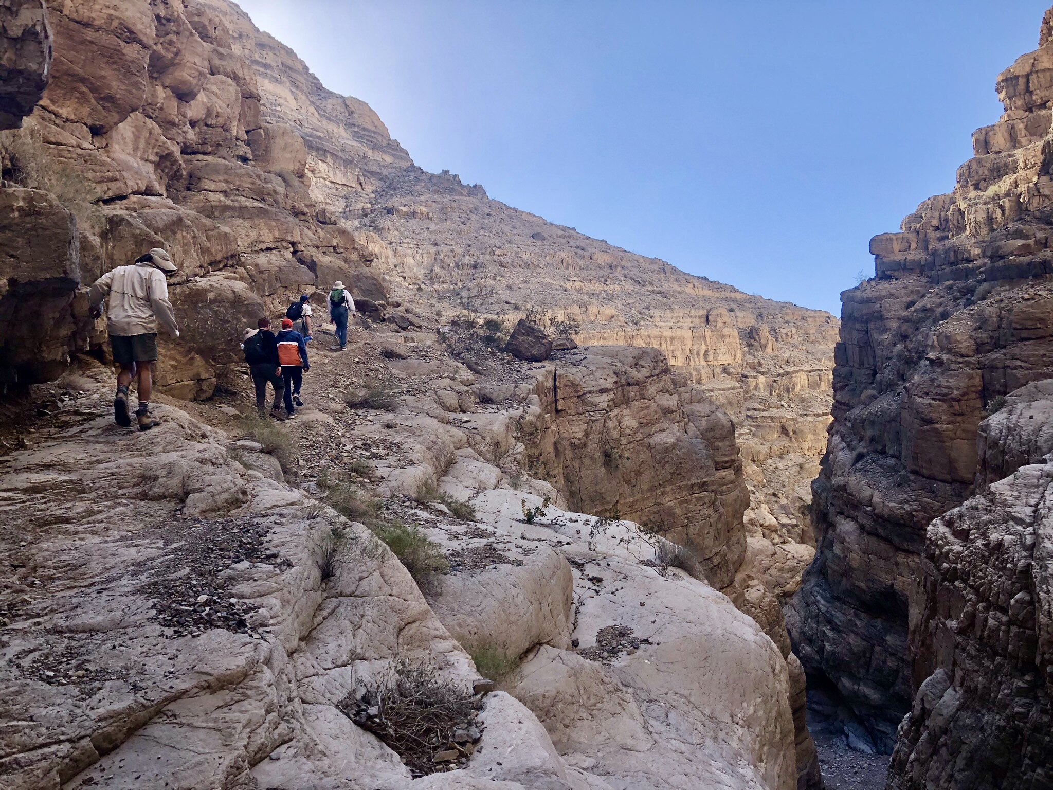
Fall Canyon: This hiking trailhead is located at the end of Titus Canyon trail. Fall canyon was an amazing hike for the spectacularly smooth narrows that tower above. You start in a wide wash and make your way through the canyon for 3.2 miles until you reach a 25 foot dry-fall that can be climbed. You exit the same way you enter, so be 100% certain in your abilities to climb up & down the fall. Once at the top, you’ll soon find yourself between incredibly smooth and winding narrows. The trail continues for many more miles, but we turned back after 0.25 miles.
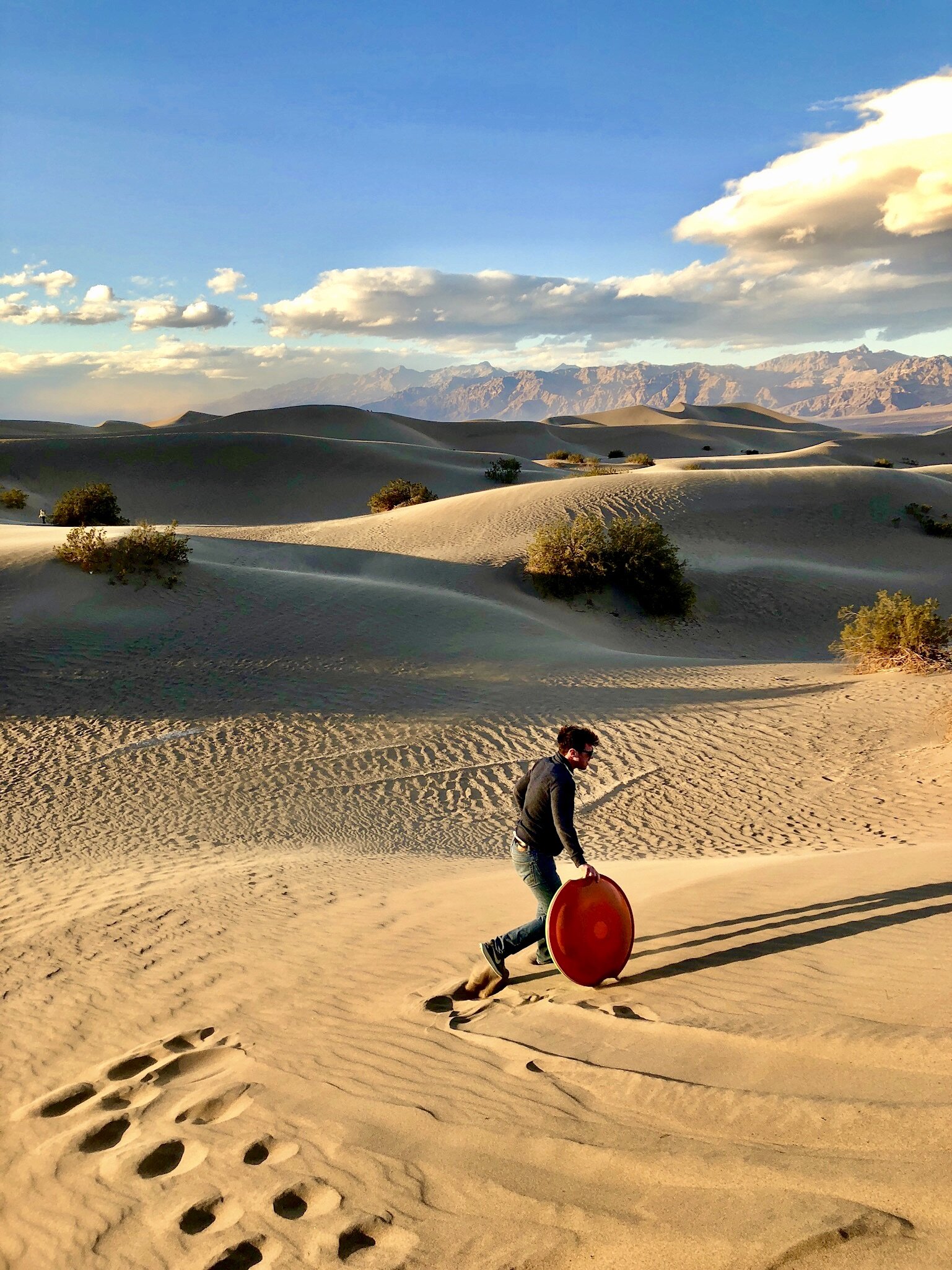
Mesquite Sand Dunes: these seemingly endless sand dunes are located in the heart of Death Valley. There is no specific trail to follow, so you’re encouraged to wander aimlessly around these incredible dunes. We played Spikeball here as the sun set behind the mountains to create an ethereal glow. It was truly a magical experience. Make sure it’s not too windy, though as you wouldn’t want to be caught in a sandstorm.
Mojave National Preserve, Alabama Hills, and Los Angeles Trails
These were ancillary hikes as we made our way from Los Angeles to Joshua Tree to Death Valley and back to LA.
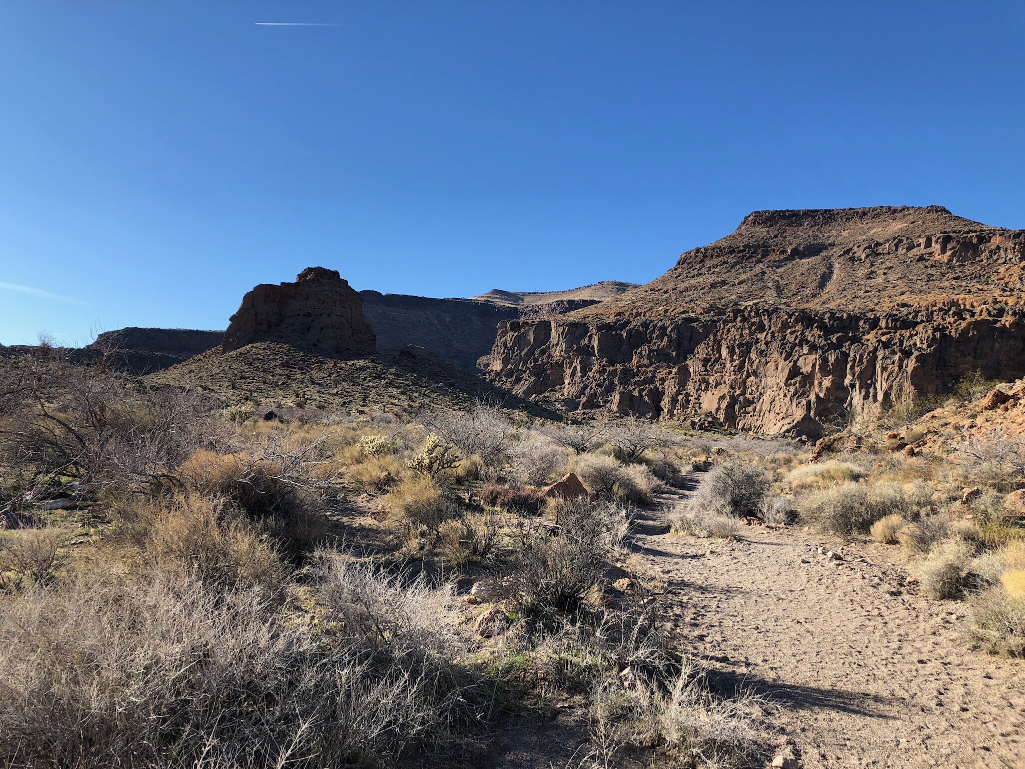
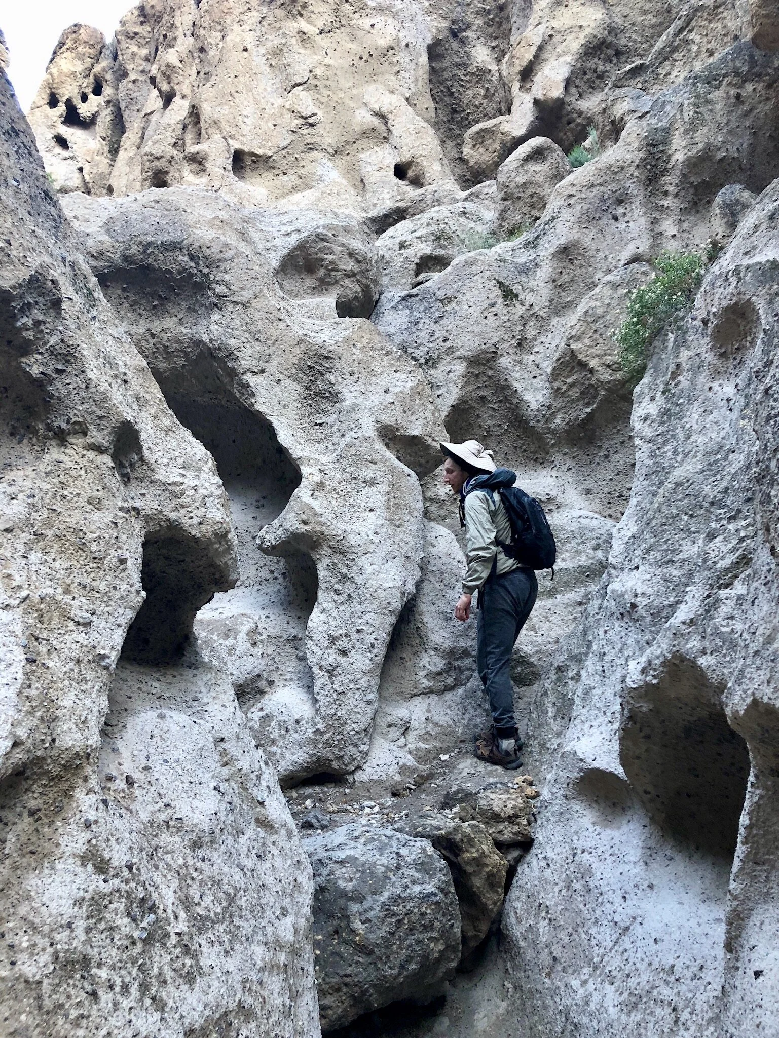
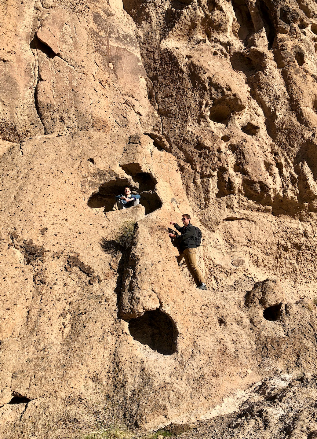
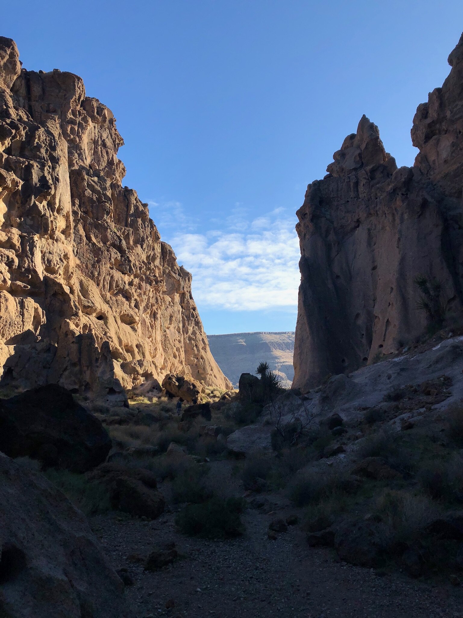
Rings Loop: Located in Mojave National Preserve, this hiking trailhead is outside the “Hole-in-Wall” information center. The trail takes you by petroglyphs and through a canyon with so many holes it looks like Swiss cheese. One part of the hike has metal rings secured into the rock that are used for climbing assistance. It’s a very rudimentary climb and requires as much effort as climbing a ladder. We went at sunset which proved to be a great decision.
Amboy Crater: This extinct volcano rises 250 feet above the surrounding basalt lava plains. The hike is extremely flat until you approach the base of the crater, where you’ll follow the trail up the west side of the volcano. On the rim you’ll see hardened lava flows that are as old as the volcano itself, ~79,000 years. You can walk into the volcano’s cavity, but don’t worry, because the most recent eruption was 10,000 years ago.
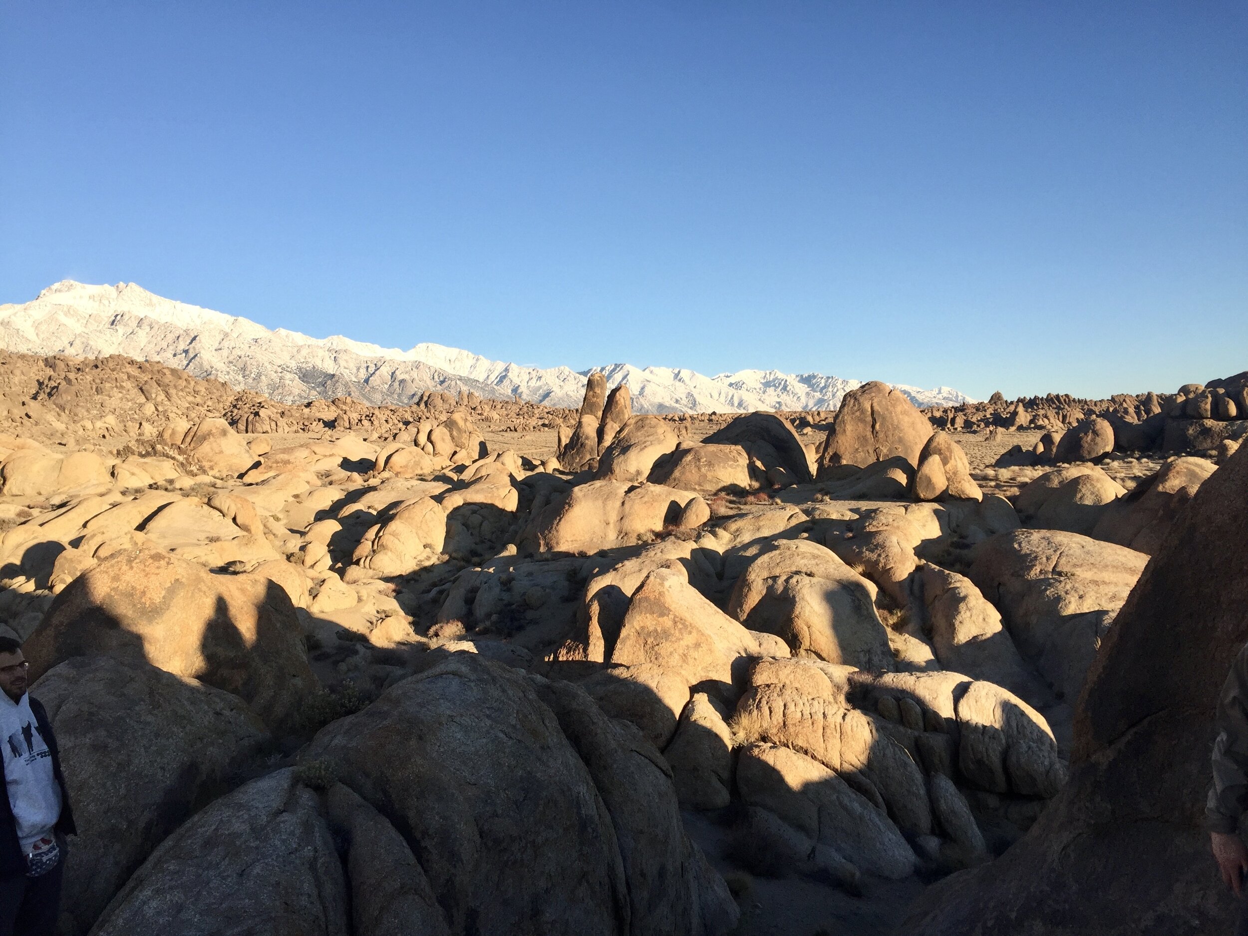
Mobius Arch Loop: A short trail through the Alabama Hills, you’ll walk amongst oddly shaped rocks with the snow covered Sierra Nevada mountains in the backdrop.
Solstice Canyon Loop: This picturesque hiking trail in Malibu takes you through Solstice Canyon and provide views of the Pacific Ocean. Some of the highlights include the oldest still-standing stone building in Malibu, a small waterfall, and ruins from a mansion. We hiked this trail the day after returning from our desert hiking trip. The foliage was a good change of scenery from the 5-days of desert hiking.
Green=Hikes, Blue=Driving, Purple=Stops/Lookouts
Stops, Lookouts & Scenic Drives
Besides hiking, these notable areas were significant additions to our trip, but don’t necessarily require too much meandering. Their locations have been included as purple dots in the embedded map.
Joshua Tree
Keys View Lookout: This overlook provides a panoramic view of the landscape. The southwest side drops nearly 1 mile in elevation, providing views into the San Andres Fault as it cuts through the Coachella Valley.
Chola Cactus Garden: A 0.2 mile loop trail leads in and around this cactus garden.
Death Valley
Devil’s Golf Course: A jagged, rocky salt patch created by erosion. Be careful if traversing the terrain, the rocks are sharp and serrated.
Zabriskie Point: From a lookout area, you’ll view the Amargosa Mountains which have been created by erosion over the past 5 million years. These badlands are composed of sediments from an ancient lake called Furnace Creek. At sunrise, the sky’s brilliant colors illuminate the range.
Artist’s Drive: One way road leading to Artist’s Palette. The road twists and turns through the mounds of colorful sands.
Titus Canyon Driving Trail: The 27 mile, one way road runs through Titus Canyon and passes petroglyphs, a ghost town, colorful rock formations and wildlife. It takes approximately 2-3 hours to complete. Visit Titus Canyon NPS page for more detail.
Alabama Hills
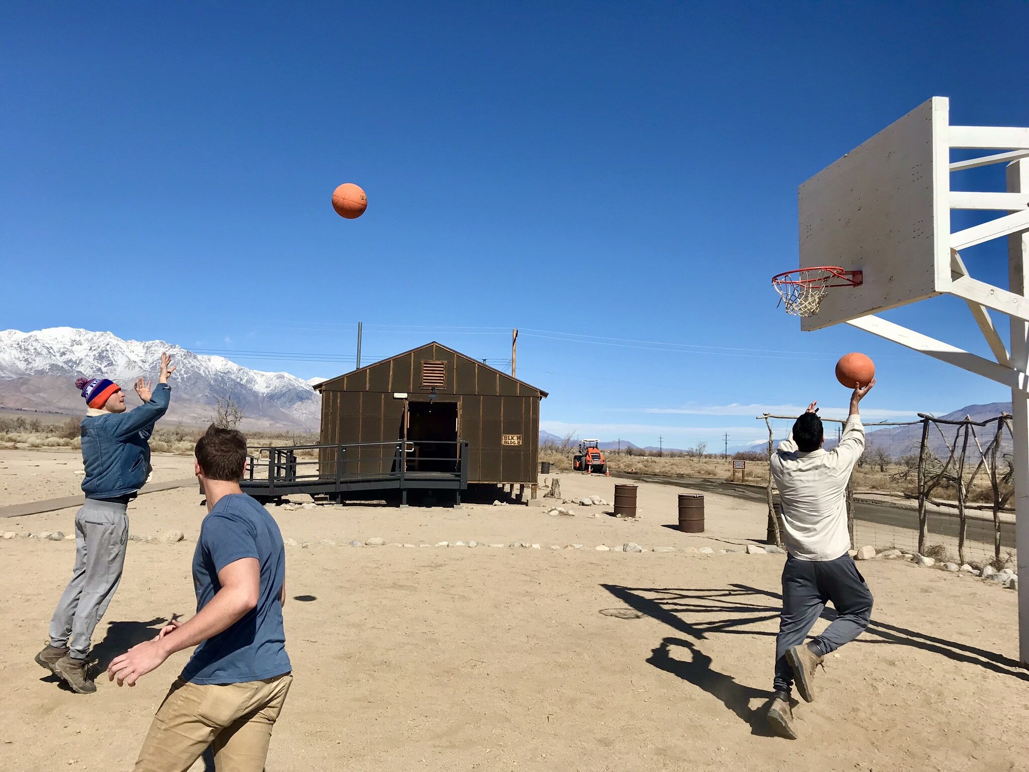
Manzanar: A traditionally overlooked part of American history, Manzanar was 1 of 10 Japanese internment camps established on American soil between 1942 and 1945. Over 110,000 Japanese were unconstitutionally relocated and put to work at these camps for fear they may be involved in Japan’s WWII efforts. Today, Manzanar serves as a museum dedicated to preserving and educating others on this ugly piece of American history.
Mt. Whitney: Standing 14,494 feet above sea level, Mt. Whitney’s peak is the highest point in the lower 48. Its peak can be see from Lone Pine & The Alabama Hills. Incredibly, less than 88 miles separates this tallest point from the lowest point at Badwater Basin. We drove as far up the Whitney Portal as we could before encountering a “road closed” sign.
Los Angeles
Malibu Lagoon State Beach: A beautiful end to our trip, we spent a few hours relaxing on this somewhat secluded beach near Malibu pier.
Santa Monica Pier & Muscle Beach Venice: Textbook California tourist sights. The pier is the official end of route 66 and houses an amusement park. Muscle Beach is where power lifters publicly exercise. There are also public skateparks, basketball courts, and great dining opportunities in the area, especially on Abbot Kinney Street. A 2.5 mile beachfront walk separates Santa Monica Pier from Muscle Beach.
La Brea Tar Pits: The world’s only actively-excavated urban tar pit site, this fascinating geological area has preserved Ice Age era plants and animals for over 50,000 years. Animals include mastodons, giant sloths, sabertooth cats, and many more. You can peer into the pits as the scientists uncover these fossils in real time. There is also a museum onsite for those interested in learning more.
Quick Tips
Visitor Centers: It’s always a good idea to visit each park’s visitor center before entering, because they’ll have crucial information about the park’s current state. It’s also a great way to interact with and ask questions to park rangers. The visitor centers have been highlighted in purple on the embedded map.
Park Entrance Fee: $30 for Joshua Tree / $25 for Death Valley (7-day vehicle pass, good for all members in the car).
Water: Drink responsibly. It’s highly recommend you bring a camelback and a few additional water bottles, because it’s better to drink more water, than not. If you feel thirsty, you’re already dehydrated. Visitor centers have water filling stations (we carry between 4-7 liters depending on the day).
Hiking Food: Before morning departure, everyone grabs enough food to satisfy them on the trails. The main sustenance is usually two sandwiches: Turkey/Salami & PB&J. We’re big believers in the power of snacking. We average between 6-10 munches a day. Anything edible makes for a good snack, and some of our favorites include bars (Cliff, RX, Granola, Nature Valley), carrots, nuts, dates, oranges, animal crackers, pop tarts, and peanut butter crackers.
Dining: We prepared all, but two meals: dinner at the Longstreet Inn Casino and dinner at a phenomenal taco truck in Lone Pine. Breakfast is usually eggs &/or oatmeal. Dinner varies on our grocery shopping, but we try eating a lot of proteins and carbs. We eat dinner whenever we return from the day’s adventures, which can get pretty late.
EXTRME Temperature: Deserts can be unbearably hot by day and freezing by night. It’s best to visit these parks in the Fall or Spring months. Try avoiding Death Valley during the summer.
Clothing: You’re going to be active and sweaty, so wear appropriate clothing. Weather will drastically vary, depending on the time of year & time of day, so always check the forecast. Even if it’s supposed to be warm, pack a jacket and long pants because it can get chilly in shaded areas in the mornings and after sunset.
Lodging: We spent 3 nights in an AirBnB outside of Joshua Tree (10-minute drive to the park), 1 night in The Longstreet Inn Casino (30-minute drive from Zabriskie point in Death Valley) and 1 night in the Dow Villa AAA motel in Lone Pine (10-minute drive from The Alabama Hills). Our Joshua Tree AirBnB had a full kitchen. The Longstreet Inn Casino is an awesome, old-school truckers stop with some really cool memorabilia. It’s in Nevada, and hence has gambling opportunities like slots.
Gear: No technical gear necessary for any of these trails, hikes, or scrambles. Hiking boots are incredibly useful.
Sunscreen: Don’t forget it.
Grocery Shopping: In an effort to maximize hiking time, we bought groceries at a Walmart between Los Angeles and Joshua Tree.
Sunrise/Sunset/Daylight: Firstly, you don’t want to be stuck hiking through the dark, so plan to leave yourself with enough daylight to safely return to your car. Secondly, different hikes/lookouts provide exceptional sunrise & sunset views that can totally transform the landscape. We had incredible sunset experiences in Joshua Tree at Keys View Lookout & Skullrock Area, in Mojave National Preserve at Ring’s Loop, and in Death Valley at the Mesquite Flat Sand Dunes. We saw a beautiful Sunrise in Death Valley at Zabriskie Point & the Badwater Basin Salt Flats.
Say Hi: The best part of hiking is meeting eclectic nature enthusiasts. Everyone you meet will have an awesome & unique story.
Enjoy the adventure!
Feel free to reach out with any questions.
